Login

Zapomniałeś swój login?

Cookies have to be accepted!
Your browser's cookie functionality is disabled. Please enable this functionality.

Not a member yet?

Register now
Login

Available for registred users only

Log in to use this feature.

Zapomniałeś swój login?

Cookies have to be accepted!
Your browser's cookie functionality is disabled. Please enable this functionality.

Not a member yet?

Register now
Filter
Kategorie
Advanced filters
  • Długość (km)
  • Wysokość
Zapisz filtr Reset filter

TrackRank

QRCode

Technical data

Długość5,5 km Wysokość158 m Way down157 m Czas trwania01:30 h:m Data31.01.2012
Oceny Author Krajobraz Czynnik zadowolenia Kondycja Technika

Statystyka

257 Widoki Oceny 23 Downloads / Pliki do pobrania Przeciętnie
Rate
  • Karta trasy
  • Dojazd
  • Downloads / Pliki do pobrania

Die Tour beginnt am Wanderparkplatz Fürstenstein, auf dem S-Weg vom Fürstenstein bis kurz vor der Kreuzung S X M-Weg rechts hoch und dann quer Wald ein. Die Kreuzung "Aussicht" kreuzen wieder in den Wald. Weiter unten dann auf schneebedeckten Waldweg zurück zum Ausgangspunkt.

Viel Spass und Schnee.
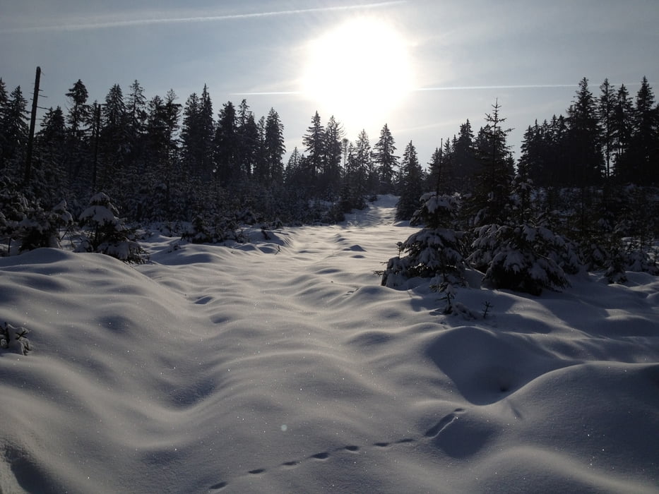
Galeria trasy

Mapa trasy i profil wysokości

  • Open Street Map
  • Google
Minimum height 657 m Maximum height 792 m Widok szczegółowy

More about the tour author

berndhuber
Member since 2008

Send private message

Komentarze

A9 Abfahrt Bayreuth nord, >Goldkronach>Brandholz Hinweisschild Schmutzlerstollen folgen daran vorbei bis Ende der Straße.

GPS tracks

Trackpoints
  • GPX / Garmin Map Source (gpx) download
  • TCX / Garmin Training Center® (tcx) download
  • CRS / Garmin Training Center® (crs) download
  • Google Earth (kml) download
  • G7ToWin (g7t) download
  • TTQV (trk) download
  • Overlay (ovl) download
  • Fugawi (txt) download
  • Kompass (DAV) Track (tk) download
  • Karta trasy (pdf) download
  • Original file of the author (gpx) download

More about the tour author

berndhuber
Member since 2008

Send private message
Share track
Add to my favorites
Remove from my favorites
Edit tags
My score
Rate
Trasa: Goldkronacher Forst
Rodzaj: Rakiety śnieżne
Długość: 5,5 km
Evaluated on:
Czas trwania:
Day(s)
Hour(s)
Minute(s)
Ocena: Krajobraz Czynnik zadowolenia Kondycja Technika