


Vom BOB-Bahnhof Geitau aus wandern wir an den Gleisen der BOB-Bahn entlang zum
Ort "Dorf". Wir gehen weiter unter der Wendelsteinbahn hindurch nach Osterhofen und von dort die Osterhofener Straße bergauf in Richtung Hochkreuth. In einer Kurve verlassen wir die Straße und sind nun auf dem Wanderpfad nach Bayrischzell. Der Höhenweg führt durch einen lichten Wald. Am Ende kreuzen wir über eine Brücke den Legerwaldgraben und wandern nun in südliche Richtung. In der Ferne hören wir das Brausen des Verkehrs auf der Alpenstraße. Wir erreichen in Bayrischzell die Michael Meindl Straße und queren den Legerwaldgraben ein zweites Mal. Auf der Kranzerstraße kommen wir zu unserem Ziel, den Bahnhof in Bayrischzell .
Galeria trasy


Mapa trasy i profil wysokości
Minimum height 753 m
Maximum height 960 m
More about the tour author

|
frank_guenther |
Komentarze

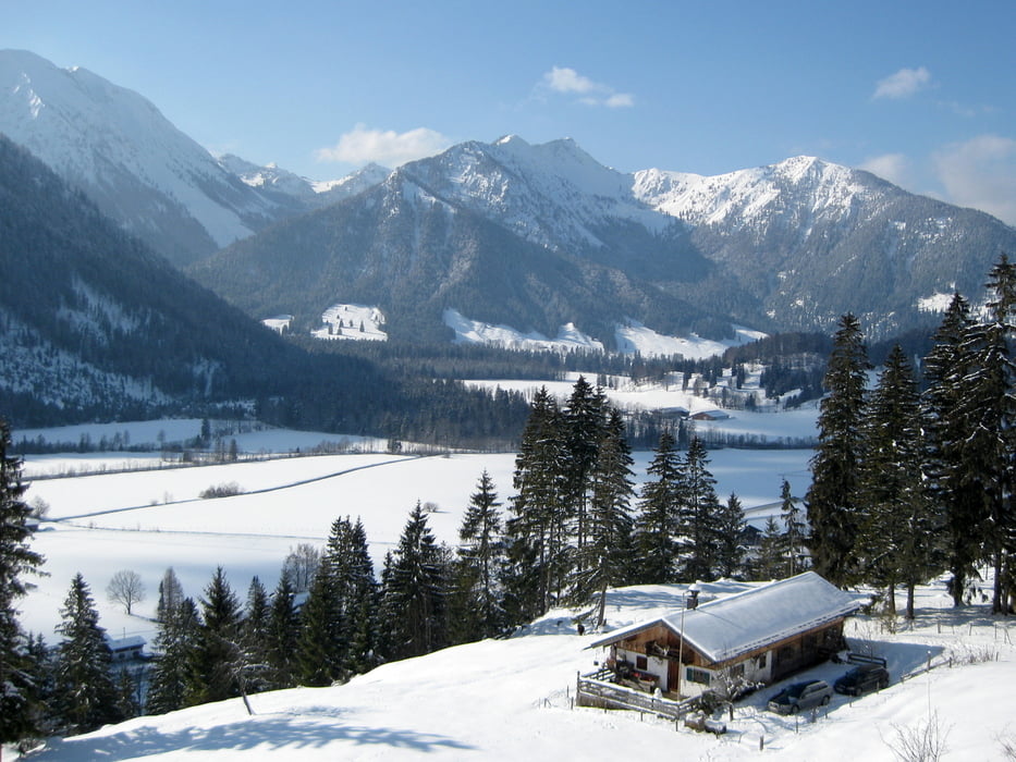
Startpunkt der Tour ist der BOB-Bahnhof in Geitau
GPS tracks
Trackpoints-
GPX / Garmin Map Source (gpx) download
-
TCX / Garmin Training Center® (tcx) download
-
CRS / Garmin Training Center® (crs) download
-
Google Earth (kml) download
-
G7ToWin (g7t) download
-
TTQV (trk) download
-
Overlay (ovl) download
-
Fugawi (txt) download
-
Kompass (DAV) Track (tk) download
-
Karta trasy (pdf) download
-
Original file of the author (gpx) download
More about the tour author
|
|
frank_guenther |
Add to my favorites
Remove from my favorites
Edit tags
Open track
My score
Rate