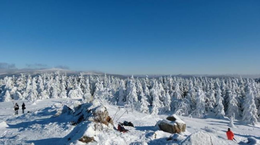
Start der Tour: Torfhaus, L 504, Parkplatz Rinderkopf.
Diese Rundtour über die Wolfswarte und Stieglitzecke nach Sonnenberg und vorbei am Oderteich zurück zum Torfhaus, stellt schon höhere Anforderungen an die Skilangläufer. Bereits zu Beginn der Tour gibt es die erste Herausforderung, denn der letzte Aufstieg zur Wolfswarte, der auch als Abstieg dient, ist nicht gespurt und fordert einiges an Trittsicherheit. Auch der weitere Tourverlauf enthält immer wieder steile Anstiege und Abfahrten die nicht zu unterschätzen sind. Letztendlich entschädigen aber die Aussichten und Eindrücke für die Strapazen der Tour.
Mehr Informationen zum Skilanglaufen im Harz gibt es unter:
www.oberharz.de/langlauf.html#c1619
www.schierke-am-brocken.de/index.php/aktiv/wintersport/skilanglauf
Further information at
http://www.schliesser-bike.deGaleria trasy
Mapa trasy i profil wysokości
Minimum height 609 m
Maximum height 873 m
Komentarze

Start der Tour: Torfhaus, L 504, Parkplatz Rinderkopf.
GPS tracks
Trackpoints-
GPX / Garmin Map Source (gpx) download
-
TCX / Garmin Training Center® (tcx) download
-
CRS / Garmin Training Center® (crs) download
-
Google Earth (kml) download
-
G7ToWin (g7t) download
-
TTQV (trk) download
-
Overlay (ovl) download
-
Fugawi (txt) download
-
Kompass (DAV) Track (tk) download
-
Karta trasy (pdf) download
-
Original file of the author (gpx) download
Add to my favorites
Remove from my favorites
Edit tags
Open track
My score
Rate


