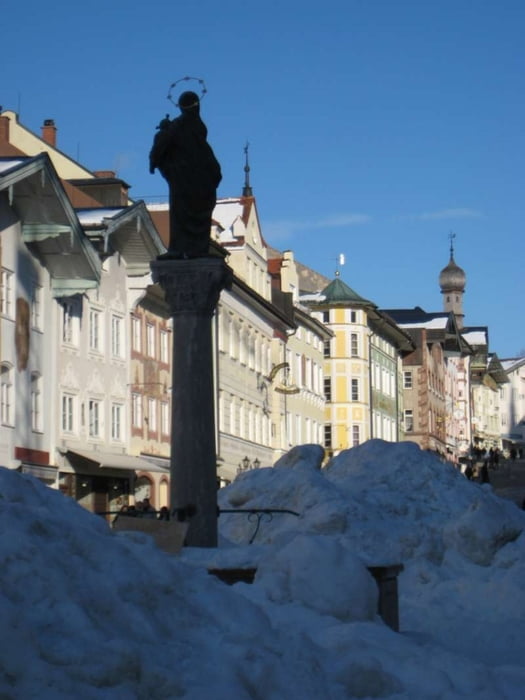
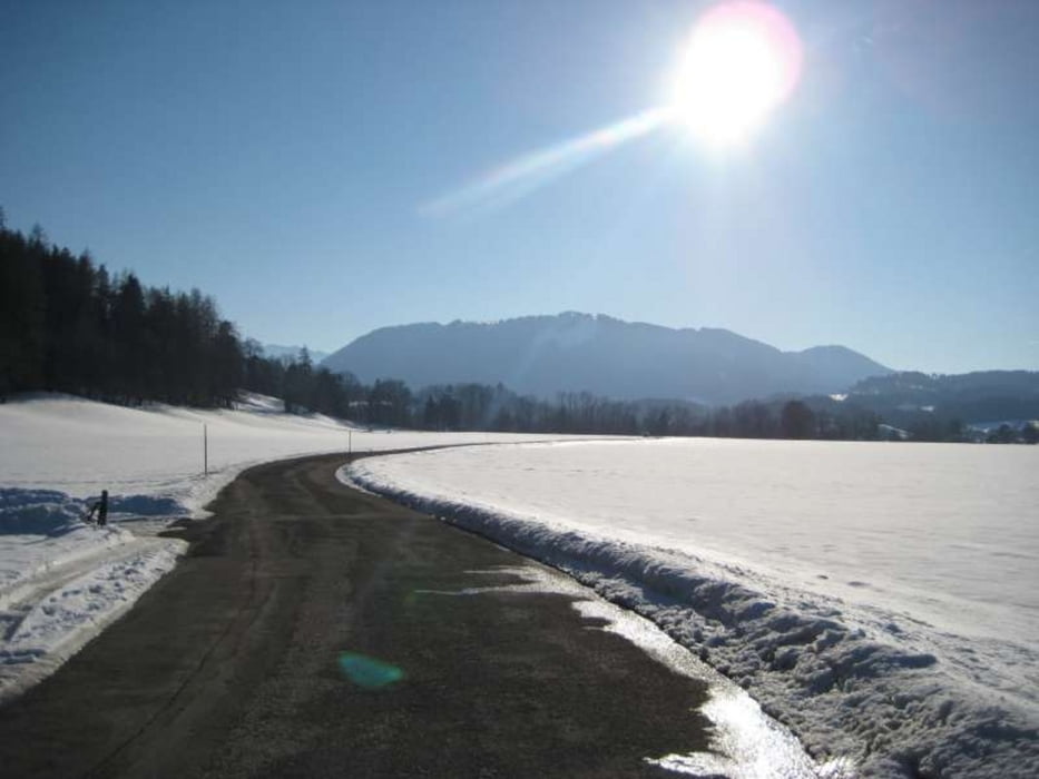
Schöner längerer Spaziergang durch Bad Tölz
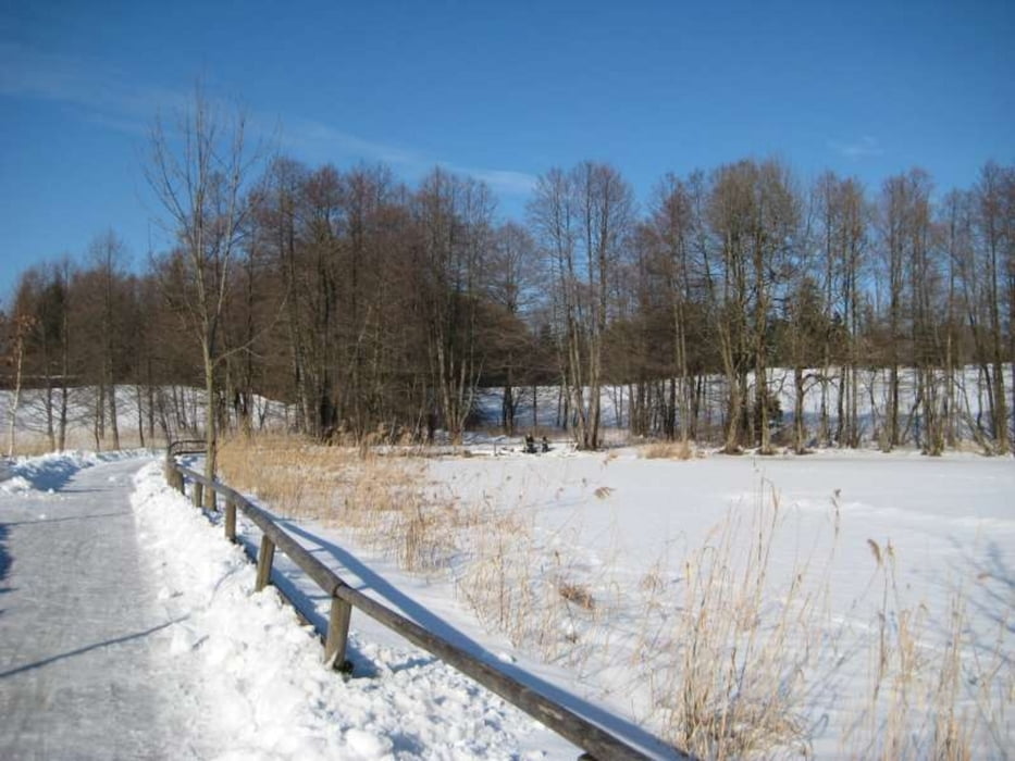
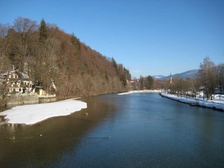
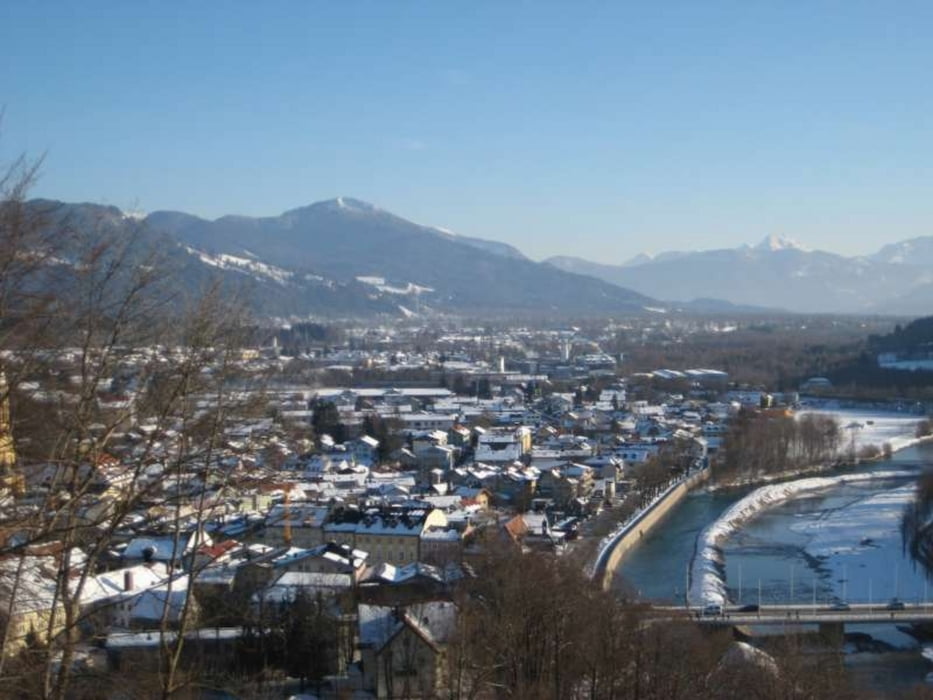
Vom Bahnhof geht es an der Fachoberschule, dem Klammerweiher und am Waldfriedhof vorbei zur Isar. An dieser gehen wir flußabwärts, überqueren die Brücke zur Marktstraße und später links ab auf den Kalvarienberg mit seiner herrlichen Aussicht. Von dort aus zurück Richtung Bahnhof.
Wer sich den Aufstieg sparen möchte geht die Markt-, Salz- und Bahnhofssstraße zum Ausgangspunkt zurück.
Die Wege sind gut ausgebaut und im Winter geräumt.
Further information at
http://www.bad-toelz.de/tourismus/bad-toelz.htmlGaleria trasy
Mapa trasy i profil wysokości
Minimum height 549 m
Maximum height 716 m
Komentarze

GPS tracks
Trackpoints-
GPX / Garmin Map Source (gpx) download
-
TCX / Garmin Training Center® (tcx) download
-
CRS / Garmin Training Center® (crs) download
-
Google Earth (kml) download
-
G7ToWin (g7t) download
-
TTQV (trk) download
-
Overlay (ovl) download
-
Fugawi (txt) download
-
Kompass (DAV) Track (tk) download
-
Karta trasy (pdf) download
-
Original file of the author (gpx) download
Add to my favorites
Remove from my favorites
Edit tags
Open track
My score
Rate

