


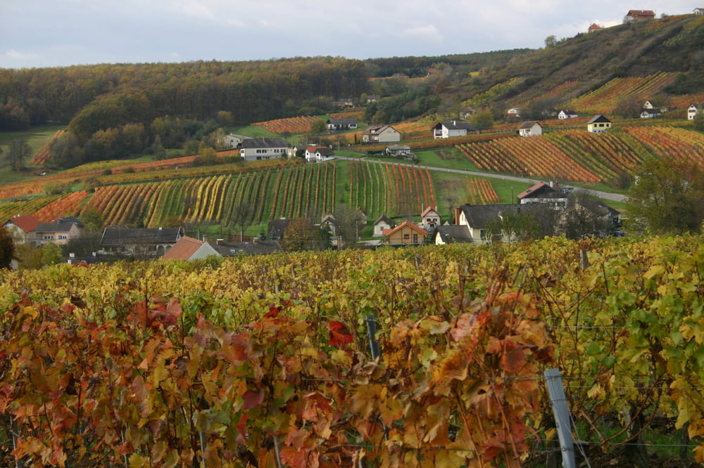
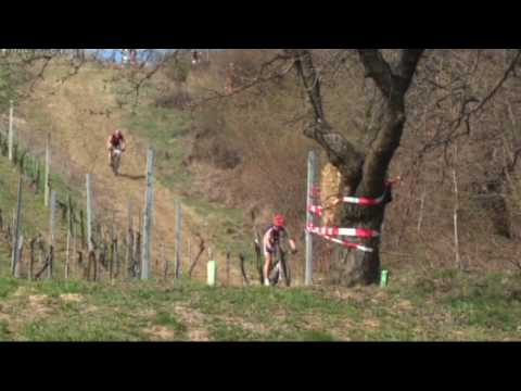
3. Grenzüberschreitender MTB Radmarathon
in Zusammenarbeit mit grenznahen ungarischen Partnergemeinden
für Damen und Herren.
Datum: Sonntag, 15.4.2012 Startzeit: 11:00 Uhr für beide Strecken
Strecken: Small (ca. 31 km)
Classic: (ca. 62 km) - 2 mal die Strecke
Further information at
http://www.mtb.eisenberg.atGaleria trasy
Mapa trasy i profil wysokości
Minimum height 210 m
Maximum height 410 m
More about the tour author
|
|
Eisenberg188 |
Komentarze

A2 - Abfahrt Oberwart
Oberwart, Großpetersdorf, Hannersdorf, Eisenberg
Gut beschildert.
Oberwart, Großpetersdorf, Hannersdorf, Eisenberg
Gut beschildert.
GPS tracks
Trackpoints-
GPX / Garmin Map Source (gpx) download
-
TCX / Garmin Training Center® (tcx) download
-
CRS / Garmin Training Center® (crs) download
-
Google Earth (kml) download
-
G7ToWin (g7t) download
-
TTQV (trk) download
-
Overlay (ovl) download
-
Fugawi (txt) download
-
Kompass (DAV) Track (tk) download
-
Karta trasy (pdf) download
-
Original file of the author (gpx) download
More about the tour author
|
|
Eisenberg188 |
Add to my favorites
Remove from my favorites
Edit tags
Open track
My score
Rate