

Bardolino-Malga Ime-Bardolino
Wir starten die Tour auf dem Parkplatz zwischen Campingplatz Serenella und Hotel Sportsman in Bardolino. Die Tour führt über viel Asphalt (von wenigen Autos befahren) ,ein kurzer Single Trail und Schotterstrecken im Wald (Teilweise sehr steil). Malga lme ist ein Berggasthof, der aber nicht immer geöffnet hat. Mehrere Restaurants gibt es in Spiazzi.
Wir starten die Tour auf dem Parkplatz zwischen Campingplatz Serenella und Hotel Sportsman in Bardolino. Die Tour führt über viel Asphalt (von wenigen Autos befahren) ,ein kurzer Single Trail und Schotterstrecken im Wald (Teilweise sehr steil). Malga lme ist ein Berggasthof, der aber nicht immer geöffnet hat. Mehrere Restaurants gibt es in Spiazzi.
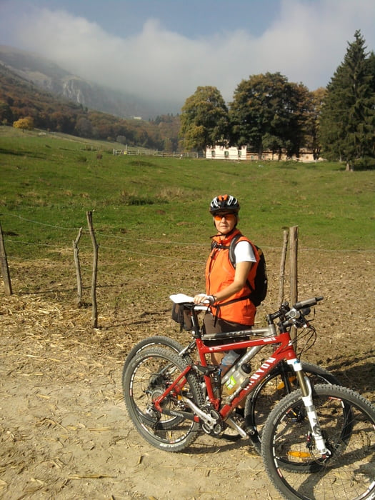
Galeria trasy

Mapa trasy i profil wysokości
Minimum height 72 m
Maximum height 1129 m
More about the tour author

|
stiefel |
Komentarze

GPS tracks
Trackpoints-
GPX / Garmin Map Source (gpx) download
-
TCX / Garmin Training Center® (tcx) download
-
CRS / Garmin Training Center® (crs) download
-
Google Earth (kml) download
-
G7ToWin (g7t) download
-
TTQV (trk) download
-
Overlay (ovl) download
-
Fugawi (txt) download
-
Kompass (DAV) Track (tk) download
-
Karta trasy (pdf) download
-
Original file of the author (gpx) download
More about the tour author
|
|
stiefel |
Add to my favorites
Remove from my favorites
Edit tags
Open track
My score
Rate