Login

Zapomniałeś swój login?

Cookies have to be accepted!
Your browser's cookie functionality is disabled. Please enable this functionality.

Not a member yet?

Register now
Login

Available for registred users only

Log in to use this feature.

Zapomniałeś swój login?

Cookies have to be accepted!
Your browser's cookie functionality is disabled. Please enable this functionality.

Not a member yet?

Register now
Filter
Kategorie
Advanced filters
  • Długość (km)
  • Wysokość
Zapisz filtr Reset filter

TrackRank

QRCode

Technical data

Długość8,2 km Wysokość659 m Way down681 m Czas trwania03:00 h:m Data06.03.2012
Oceny Author Krajobraz Czynnik zadowolenia Kondycja Technika

Statystyka

3862 Widoki Oceny 153 Downloads / Pliki do pobrania Przeciętnie
Rate
  • Karta trasy
  • Dojazd
  • Downloads / Pliki do pobrania

Nette Rundwanderung, verschiedener Auf- und Abstieg. Beginnend an der Talstation der Pfänderbahn über den Gschliefweg, Gaststätte Halbstation, Gasthaus Pfänderdohle zur Pfänderspitze.

Am Alpenwildpark Pfad nach Haggen, Riese, Lohorn, Altreute zur Talstation. Auch der Pfänder kann die ein oder andere Schweissperle abverlangen!
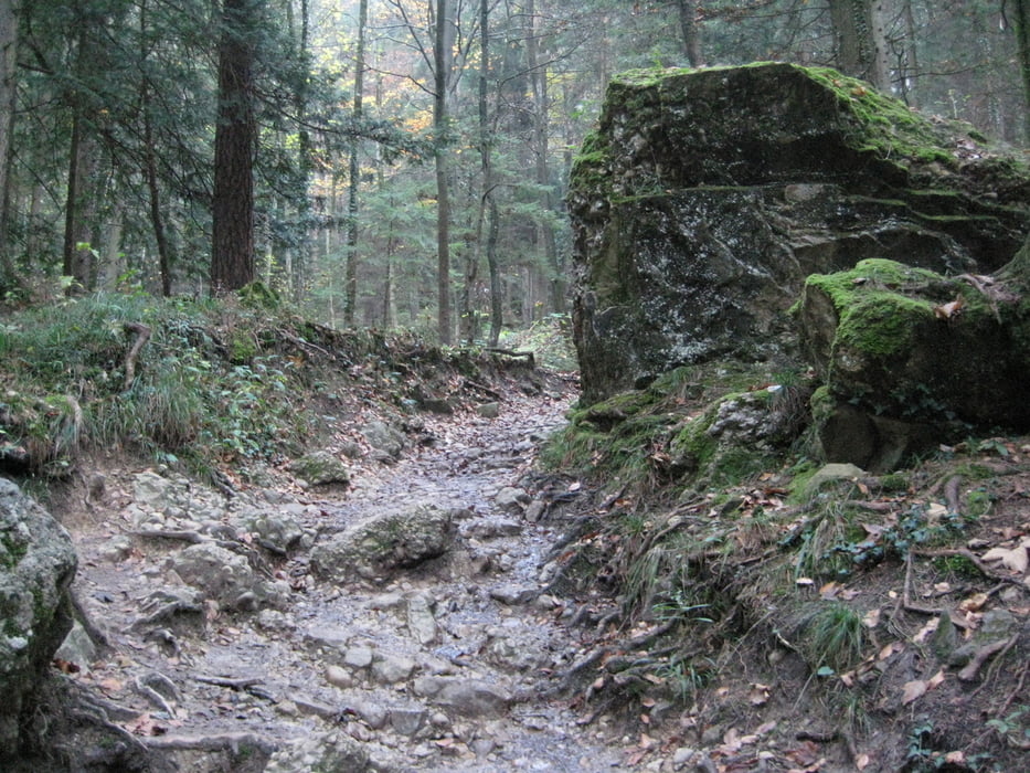
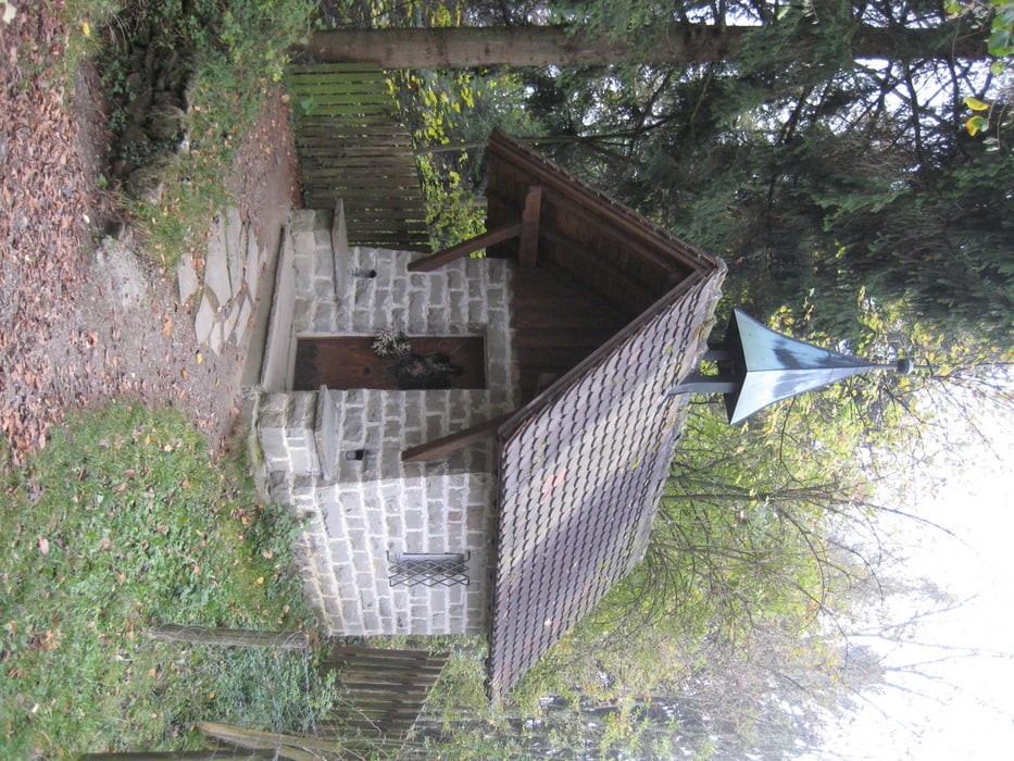
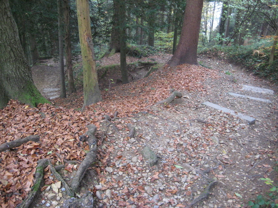
Galeria trasy

Mapa trasy i profil wysokości

  • Open Street Map
  • Google
Minimum height 358 m Maximum height 1083 m Widok szczegółowy

More about the tour author

masterheizer
Member since 2011

Send private message

Komentarze

Bregenz, Talstation Pfänderbahn

GPS tracks

Trackpoints
  • GPX / Garmin Map Source (gpx) download
  • TCX / Garmin Training Center® (tcx) download
  • CRS / Garmin Training Center® (crs) download
  • Google Earth (kml) download
  • G7ToWin (g7t) download
  • TTQV (trk) download
  • Overlay (ovl) download
  • Fugawi (txt) download
  • Kompass (DAV) Track (tk) download
  • Karta trasy (pdf) download
  • Original file of the author (gpx) download

More about the tour author

masterheizer
Member since 2011

Send private message
Share track
Add to my favorites
Remove from my favorites
Edit tags
My score
Rate
Trasa: Pfänder-Rundwanderung
Rodzaj: Wędrówki
Długość: 8,2 km
Evaluated on:
Czas trwania:
Day(s)
Hour(s)
Minute(s)
Ocena: Krajobraz Czynnik zadowolenia Kondycja Technika