

Bin ab Kornwestheim los. Interssant wirds ab Zuffenhausen und Wolfbusch hoch zur D-Burg. dort einmal heftig abwärts unten links halten und weiter hoch zur Tränke Bärenschlössle. Von dort gehts auf schönem Trail wieder zur besagten Burg auch wieder heftig abwärts. (wems zusteil ist kann 500m vorher in den flacheren Trail nach links abzweigen. Lindenbach auf Trail entlang und zum Schluss noch ein toller T nach Zuffi. Viel Spass
Voting wäre sinnvoll damit andere wissen was auf sie zukommt beim nachfahren. Danke
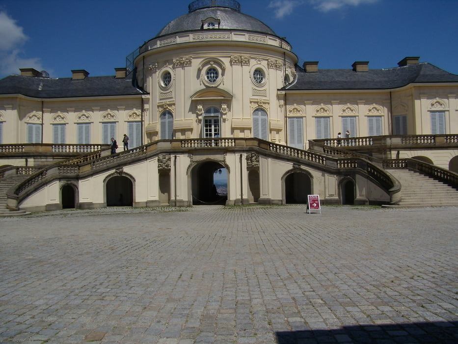
Galeria trasy

Mapa trasy i profil wysokości
Minimum height 206 m
Maximum height 478 m
More about the tour author
|
|
batman11 |
Komentarze

GPS tracks
Trackpoints-
GPX / Garmin Map Source (gpx) download
-
TCX / Garmin Training Center® (tcx) download
-
CRS / Garmin Training Center® (crs) download
-
Google Earth (kml) download
-
G7ToWin (g7t) download
-
TTQV (trk) download
-
Overlay (ovl) download
-
Fugawi (txt) download
-
Kompass (DAV) Track (tk) download
-
Karta trasy (pdf) download
-
Original file of the author (gpx) download
More about the tour author
|
|
batman11 |
Add to my favorites
Remove from my favorites
Edit tags
Open track
My score
Rate