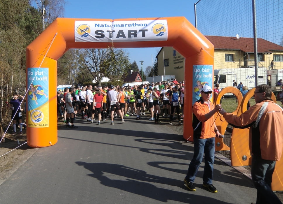
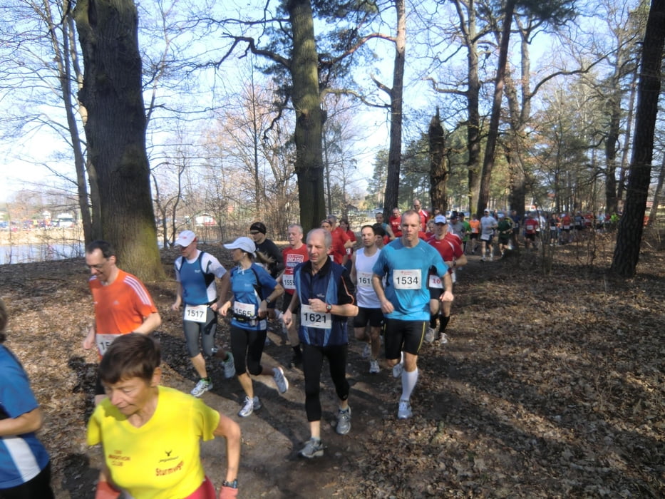
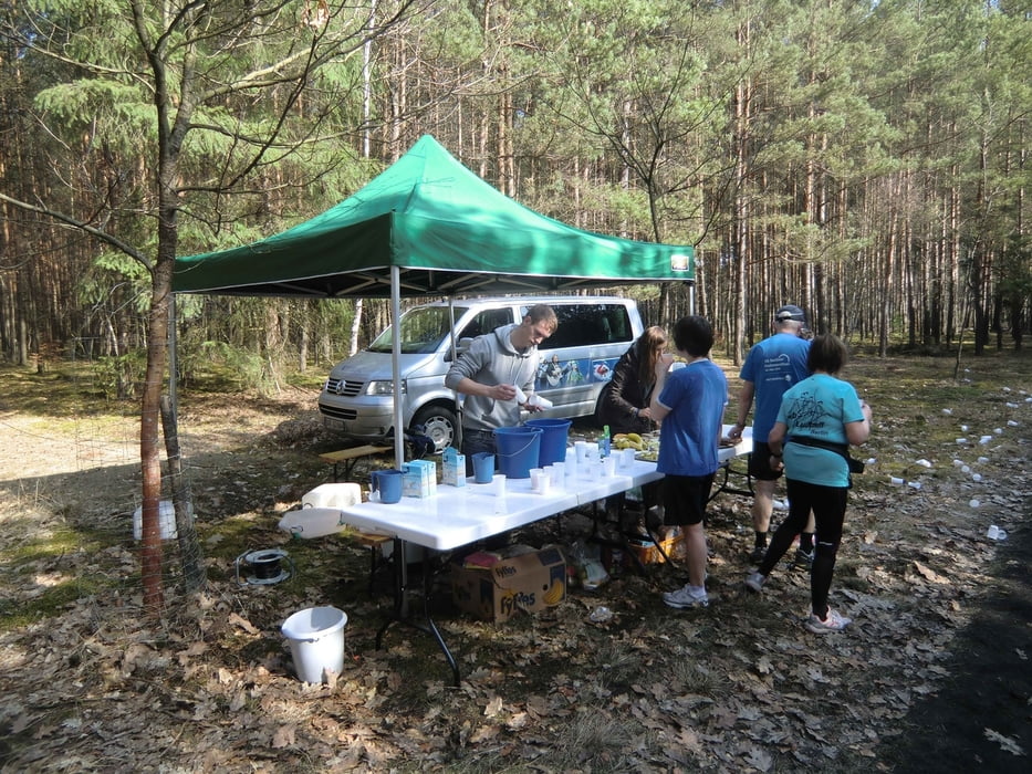
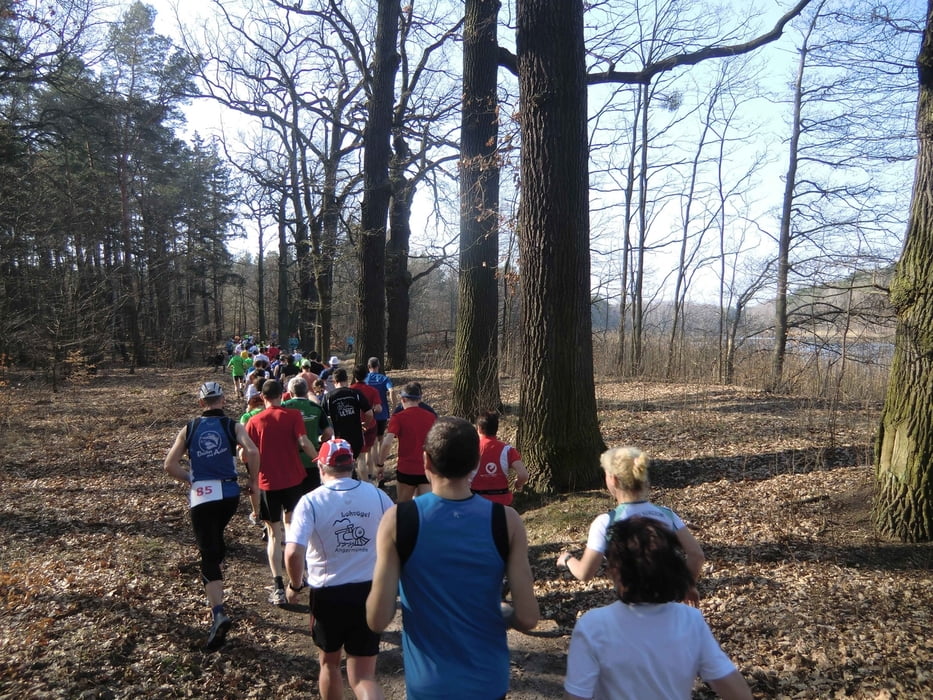
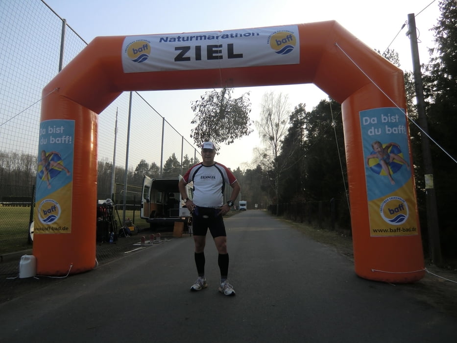
Marathonlauf teilweise entlang des Finow-Kanals, ca. 60 % Waldstrecke und ca. 40 % asphaltierter Fahrradweg
Strecke ist 4 x zu durchlaufen, je etwa 10,6 km
verkehrsfrei
Further information at
http://www.naturmarathon.de/Galeria trasy
Mapa trasy i profil wysokości
Minimum height 99999 m
Maximum height -99999 m
Komentarze

Autobahn A2 in Richtung Berlin, Autobahn Dreieck Werder auf A10 Autobahnring Berlin in Richtung Hamburg bis zur Autobahn A11 Abfahrt Prenden dort in Richtung Marienwerder bis zum Sportplatz
GPS tracks
Trackpoints-
GPX / Garmin Map Source (gpx) download
-
TCX / Garmin Training Center® (tcx) download
-
CRS / Garmin Training Center® (crs) download
-
Google Earth (kml) download
-
G7ToWin (g7t) download
-
TTQV (trk) download
-
Overlay (ovl) download
-
Fugawi (txt) download
-
Kompass (DAV) Track (tk) download
-
Karta trasy (pdf) download
-
Original file of the author (gpx) download
Add to my favorites
Remove from my favorites
Edit tags
Open track
My score
Rate

