Login

Zapomniałeś swój login?

Cookies have to be accepted!
Your browser's cookie functionality is disabled. Please enable this functionality.

Not a member yet?

Register now
Login

Available for registred users only

Log in to use this feature.

Zapomniałeś swój login?

Cookies have to be accepted!
Your browser's cookie functionality is disabled. Please enable this functionality.

Not a member yet?

Register now
Filter
Kategorie
Advanced filters
  • Długość (km)
  • Wysokość
Zapisz filtr Reset filter

TrackRank

QRCode

Technical data

Długość33,2 km Wysokość628 m Way down m Czas trwania00:00 h:m Data05.08.2007
Oceny Author User Krajobraz Czynnik zadowolenia Kondycja Technika

Statystyka

1257 Widoki 2 Oceny 224 Downloads / Pliki do pobrania 2.50 Przeciętnie
Rate
  • Karta trasy
  • Dojazd
  • Downloads / Pliki do pobrania
Opladen . Imbach .Balken . Wietsche . Weltersbach . Unterbüscherhof . Witzhelden . Wersbach . Oberwietsche . Unterwietsche . Grünscheid . Romberg . Atzlenbach . Opladen

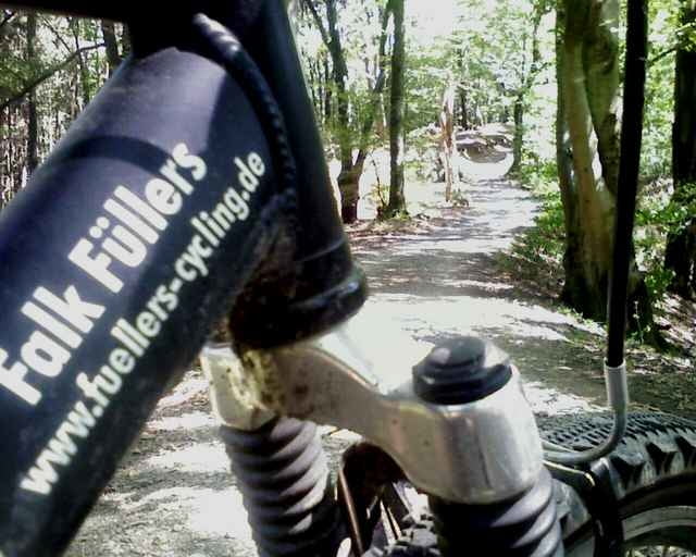
kurze Tour durchs Bergische Land überwiegend "Off-Road" und sehr (!) schön!

Mapa trasy i profil wysokości

  • Open Street Map
  • Google
Minimum height 23 m Maximum height 220 m Widok szczegółowy

More about the tour author

Tribun72
Member since 2007

Send private message

Komentarze

GPE on 09.02.2008

Track nicht importierbar

Schade, irgendwas stimmt nicht mit der .gpx Datei, ich konnte den Track nicht nach MapSource Importieren

GPS tracks

Trackpoints
  • GPX / Garmin Map Source (gpx) download
  • TCX / Garmin Training Center® (tcx) download
  • CRS / Garmin Training Center® (crs) download
  • Google Earth (kml) download
  • G7ToWin (g7t) download
  • TTQV (trk) download
  • Overlay (ovl) download
  • Fugawi (txt) download
  • Kompass (DAV) Track (tk) download
  • Karta trasy (pdf) download
  • Original file of the author (gpx) download

More about the tour author

Tribun72
Member since 2007

Send private message
Share track
Add to my favorites
Remove from my favorites
Edit tags
My score
Rate
Trasa: Opladen . Imbach .Balken . Wietsche . Weltersbach . Unterbüscherhof . Witzhelden . Wersbach . Oberwietsche . Unterwietsche . Grünscheid . Romberg . Atzlenbach . Opladen
Rodzaj: Rower górski (MTB)
Długość: 33,2 km
Evaluated on:
Czas trwania:
Day(s)
Hour(s)
Minute(s)
Ocena: Krajobraz Czynnik zadowolenia Kondycja Technika