Login

Zapomniałeś swój login?

Cookies have to be accepted!
Your browser's cookie functionality is disabled. Please enable this functionality.

Not a member yet?

Register now
Login

Available for registred users only

Log in to use this feature.

Zapomniałeś swój login?

Cookies have to be accepted!
Your browser's cookie functionality is disabled. Please enable this functionality.

Not a member yet?

Register now
Filter
Kategorie
Advanced filters
  • Długość (km)
  • Wysokość
Zapisz filtr Reset filter

TrackRank

QRCode

Technical data

Długość34,0 km Wysokość1530 m Way down1474 m Czas trwania03:34 h:m Data06.04.2012
Oceny Author Krajobraz Czynnik zadowolenia Kondycja Technika

Statystyka

1184 Widoki Oceny 149 Downloads / Pliki do pobrania Przeciętnie
Rate
  • Karta trasy
  • Dojazd
  • Downloads / Pliki do pobrania

Filmkulisse!

Finkenberg-Penkenalm-Penken-Lämmerbichl-Finkenberg

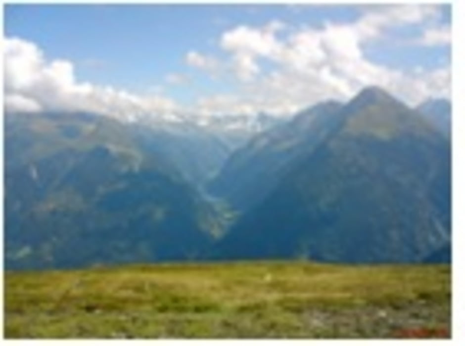
unglaubliche Landschaft! Da hält man sogar die
vielen Touristen aus.
Und sehr toller Weg.


Mapa trasy i profil wysokości

  • Open Street Map
  • Google
Minimum height 831 m Maximum height 2263 m Widok szczegółowy

More about the tour author

mitter
Member since 2008

Send private message

Komentarze

Start in Finkenberg

GPS tracks

Trackpoints
  • GPX / Garmin Map Source (gpx) download
  • TCX / Garmin Training Center® (tcx) download
  • CRS / Garmin Training Center® (crs) download
  • Google Earth (kml) download
  • G7ToWin (g7t) download
  • TTQV (trk) download
  • Overlay (ovl) download
  • Fugawi (txt) download
  • Kompass (DAV) Track (tk) download
  • Karta trasy (pdf) download
  • Original file of the author (gpx) download

More about the tour author

mitter
Member since 2008

Send private message
Share track
Add to my favorites
Remove from my favorites
Edit tags
My score
Rate
Trasa: Penken
Rodzaj: Rower górski (MTB)
Długość: 34,0 km
Evaluated on:
Czas trwania:
Day(s)
Hour(s)
Minute(s)
Ocena: Krajobraz Czynnik zadowolenia Kondycja Technika