


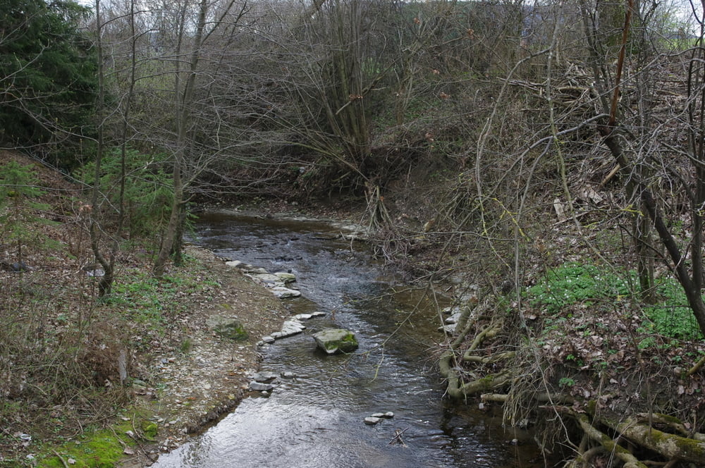
Von der Michaelskirche durch das Oberdorf am Burren vorbei und die Hundsgasse hinunter un das Unterdorf. Die Baustelle in der Heubacher Straße ist nun fast beendet und der Weg führt immer am Klotzbach entlang in die Bachäcker. Nachdem eine kleine Brücke in einer links-rechts Kombination überquert wurde passiert man das ehemalige Freibad von Oberböbingen. Es ist jetzt in einen Fischteich umgewandelt. Weiter geht es bis zum Gewerbegebiet.
Die Siemensstraße nach Westen und wieder über den Klotzbach und ein heruntergekommenes Sträßlein zum Flugplatz hoch.
Links um die Ecke und nach gut 100m konnten wir auf einem neuen Stück Straße entlanggehen. Noch war sie nicht eröffnet und so erreichten wir auf geradem Weg den asphaltierten Weg der zurück nach Oberböbingen am Friedhof vorbei führt.
Further information at
http://www.fliegergruppe-heubach.de/flugplatzfest/Service/Piloten/Piloten.htmGaleria trasy

Mapa trasy i profil wysokości
Minimum height 390 m
Maximum height 448 m
More about the tour author
|
|
Pheinz |
Komentarze

Wo es beliebt
GPS tracks
Trackpoints-
GPX / Garmin Map Source (gpx) download
-
TCX / Garmin Training Center® (tcx) download
-
CRS / Garmin Training Center® (crs) download
-
Google Earth (kml) download
-
G7ToWin (g7t) download
-
TTQV (trk) download
-
Overlay (ovl) download
-
Fugawi (txt) download
-
Kompass (DAV) Track (tk) download
-
Karta trasy (pdf) download
-
Original file of the author (gpx) download
More about the tour author
|
|
Pheinz |
Add to my favorites
Remove from my favorites
Edit tags
Open track
My score
Rate