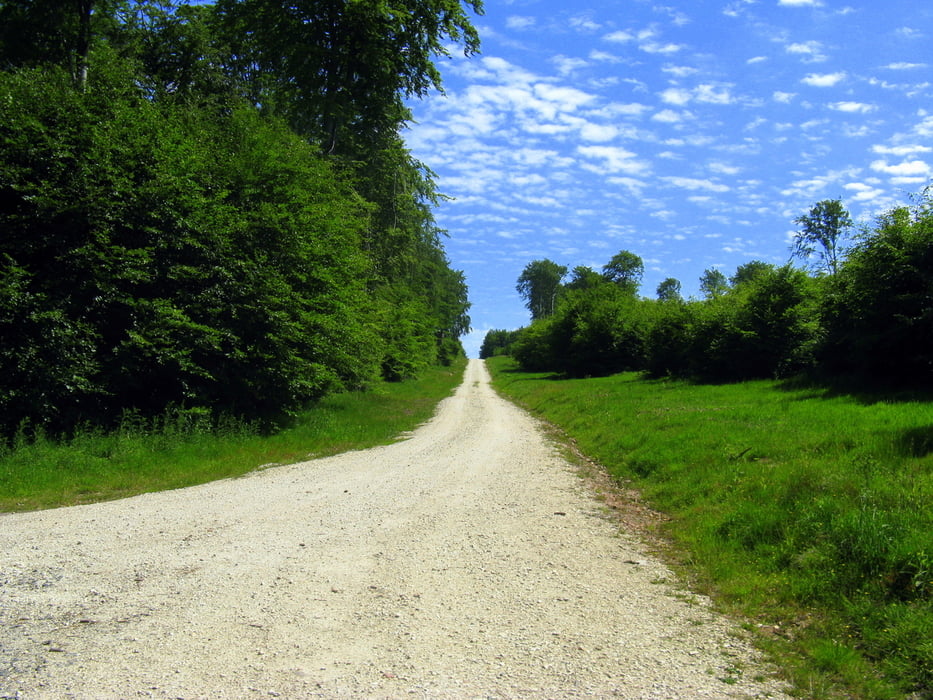
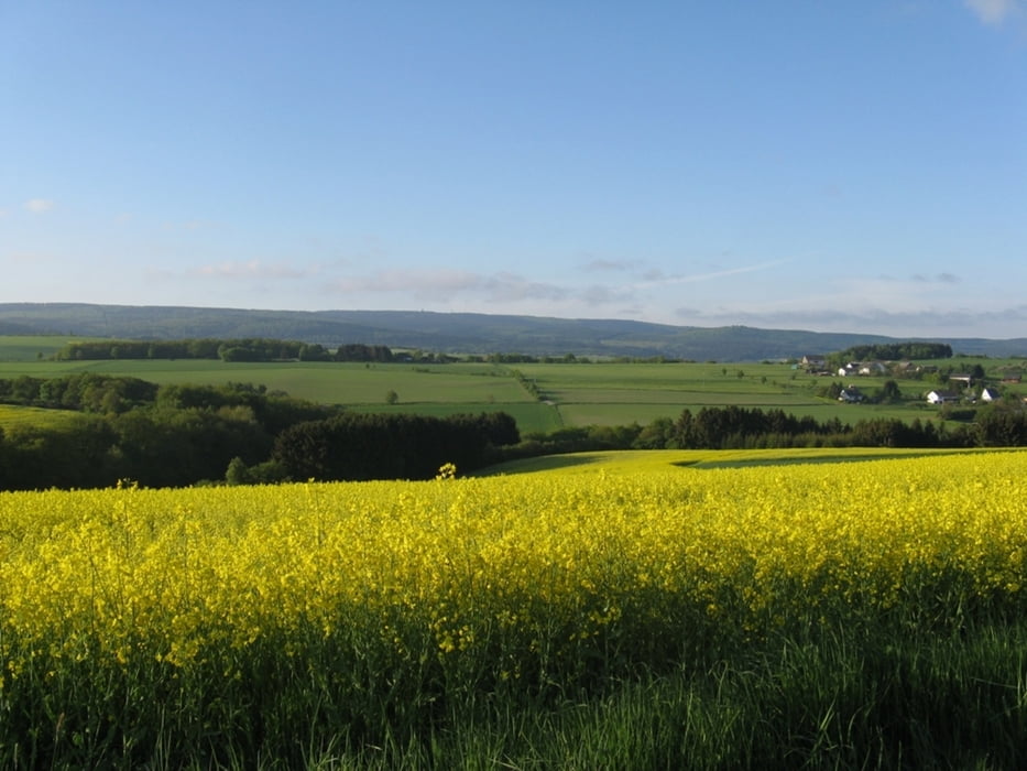
Eine Gemütliche Runde, die in Weiperath beginnt. Sie führt überwiegend über Forstwege. Drei kürzere aber einfache Trails werden auch befahren. Die Route führt zur "hängenden Birke", dann zu "OK Hütte" über den "0-Weg" durch den Ortelsbruch wieder zurück. Zwischendurch hat man immer wieder schöne landschaftliche Ausblicke.
Galeria trasy
Mapa trasy i profil wysokości
Minimum height 139 m
Maximum height 708 m
Komentarze

Über die B327 bis nach Morbach zur Esso Tankstelle, dann auf die K 99 bis nach Weiperath.
GPS tracks
Trackpoints-
GPX / Garmin Map Source (gpx) download
-
TCX / Garmin Training Center® (tcx) download
-
CRS / Garmin Training Center® (crs) download
-
Google Earth (kml) download
-
G7ToWin (g7t) download
-
TTQV (trk) download
-
Overlay (ovl) download
-
Fugawi (txt) download
-
Kompass (DAV) Track (tk) download
-
Karta trasy (pdf) download
-
Original file of the author (gpx) download
Add to my favorites
Remove from my favorites
Edit tags
Open track
My score
Rate


