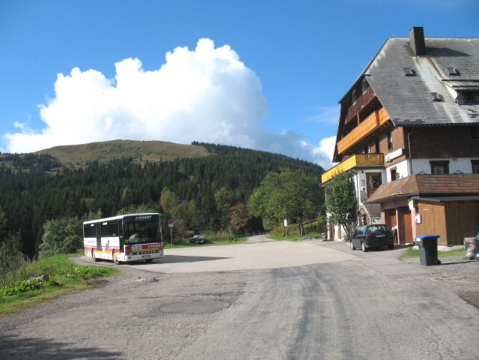
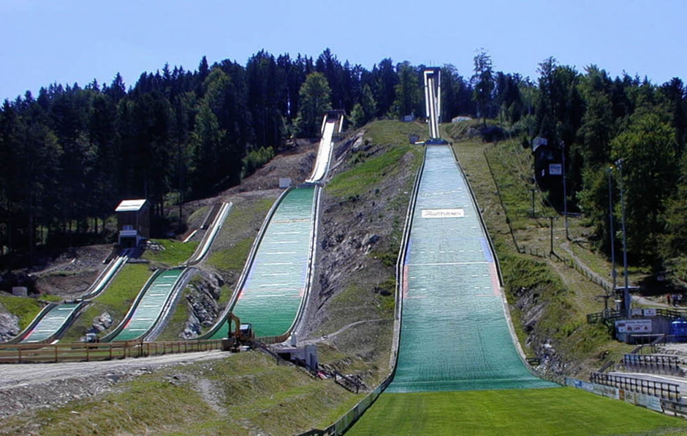
Start und Ende ist der Bahnhof Hinterzarten. Ein schöner Trail ist in dem Rundkurs mit inbegriffen, der nur bei Nässe und Schnee schwierig zu fahren ist. Der Rest der Tour besteht aus breiten Waldwegen.
Galeria trasy
Mapa trasy i profil wysokości
Minimum height 880 m
Maximum height 1246 m
Komentarze

Die Anfahrt ist mit dem Zug aus Freiburg (30 min Fahrzeit) oder mit dem Auto (Parken am Bahnhof) möglich
GPS tracks
Trackpoints-
GPX / Garmin Map Source (gpx) download
-
TCX / Garmin Training Center® (tcx) download
-
CRS / Garmin Training Center® (crs) download
-
Google Earth (kml) download
-
G7ToWin (g7t) download
-
TTQV (trk) download
-
Overlay (ovl) download
-
Fugawi (txt) download
-
Kompass (DAV) Track (tk) download
-
Karta trasy (pdf) download
-
Original file of the author (gpx) download
Add to my favorites
Remove from my favorites
Edit tags
Open track
My score
Rate


