Login

Zapomniałeś swój login?

Cookies have to be accepted!
Your browser's cookie functionality is disabled. Please enable this functionality.

Not a member yet?

Register now
Login

Available for registred users only

Log in to use this feature.

Zapomniałeś swój login?

Cookies have to be accepted!
Your browser's cookie functionality is disabled. Please enable this functionality.

Not a member yet?

Register now
Filter
Kategorie
Advanced filters
  • Długość (km)
  • Wysokość
Zapisz filtr Reset filter

TrackRank

QRCode

Technical data

Długość14,1 km Wysokość513 m Way down545 m Czas trwania00:00 h:m Data20.04.2012
Oceny Author Krajobraz Czynnik zadowolenia Kondycja Technika

Statystyka

526 Widoki Oceny 100 Downloads / Pliki do pobrania Przeciętnie
Rate
  • Karta trasy
  • Dojazd
  • Downloads / Pliki do pobrania

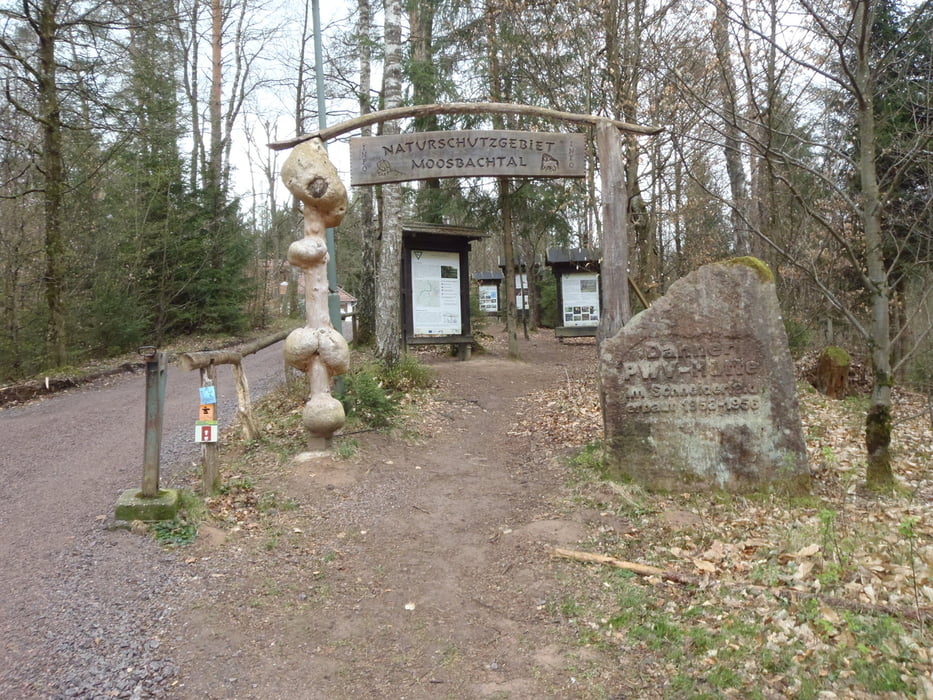
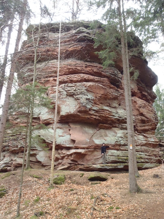
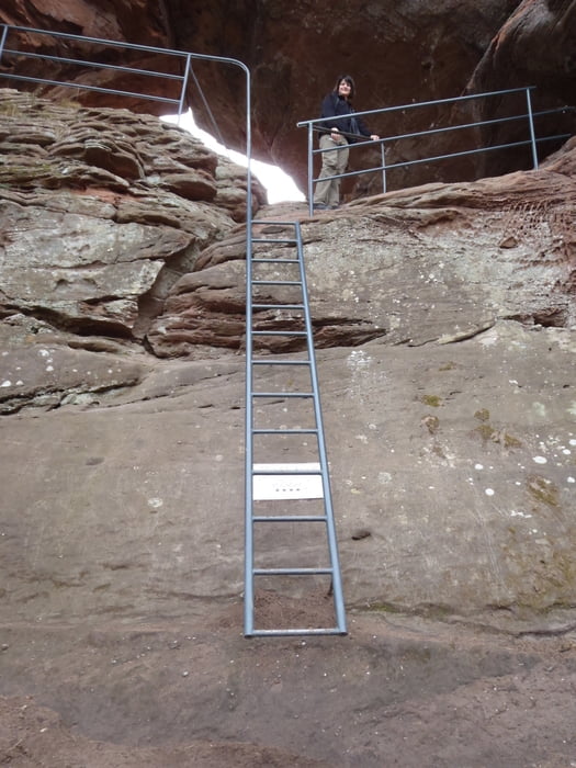
This is a marked hike on the maps. It is a very scenic walk around Dahn with various named rock formations and some nice lookouts. The forests are very reminiscent of "Grimms Fairy Tales" type. Just where you would expect a fairytale to start.

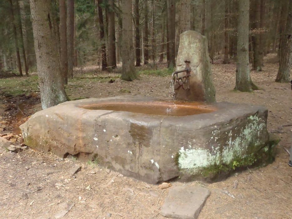
We had a couple of small diversions - they are not part of the marked trip but was fun all the same.

Track was recorded on Magellan eXplorist 110.
 

Galeria trasy

Mapa trasy i profil wysokości

  • Open Street Map
  • Google
Minimum height 180 m Maximum height 331 m Widok szczegółowy

More about the tour author

Eddi1966
Member since 2012

Send private message

Komentarze

GPS tracks

Trackpoints
  • GPX / Garmin Map Source (gpx) download
  • TCX / Garmin Training Center® (tcx) download
  • CRS / Garmin Training Center® (crs) download
  • Google Earth (kml) download
  • G7ToWin (g7t) download
  • TTQV (trk) download
  • Overlay (ovl) download
  • Fugawi (txt) download
  • Kompass (DAV) Track (tk) download
  • Karta trasy (pdf) download
  • Original file of the author (gpx) download

More about the tour author

Eddi1966
Member since 2012

Send private message
Share track
Add to my favorites
Remove from my favorites
Edit tags
My score
Rate
Trasa: Dahner Felsenpfad
Rodzaj: Wędrówki
Długość: 14,1 km
Evaluated on:
Czas trwania:
Day(s)
Hour(s)
Minute(s)
Ocena: Krajobraz Czynnik zadowolenia Kondycja Technika