
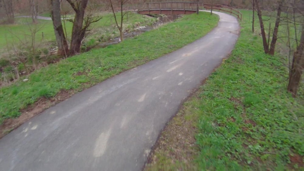

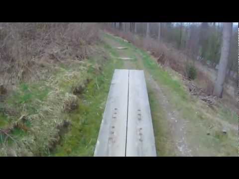
Auf alten Bahnrtassen Radfahren.
Die Strecke kann mit jedem beliebigen Rad gefahren werden, für die Stecke habe ich 5 Stunden gebraucht inkl. Pausen. Die Fahrzeit war 4 Std. 9 min. mit einer Duchrschnittsgeschwindigkeit von 20 KM/h.
Die Steigungen sind sehr gering und sehr leicht zu fahren, dem nach auch für Anfänger geeignet.
www.sauerland-waldroute.de/sauerland/orte/schmallenberg/bad_fredeburg/bad_fredeburger_bike_parcours
Further information at
http://www.sauerland.com/Sauerland-entdecken/Radfahren2/Tourenradfahren/SauerlandRadring-Unterwegs-auf-alten-BahntrassenGaleria trasy


Mapa trasy i profil wysokości
Minimum height 223 m
Maximum height 451 m
More about the tour author
|
|
Wollibalou |
Komentarze

Parken kann man in Finnentrop am Bahnhof. Werktags mit Parkscheine 2 Std. und am Wochenende unbegrenzt.
GPS tracks
Trackpoints-
GPX / Garmin Map Source (gpx) download
-
TCX / Garmin Training Center® (tcx) download
-
CRS / Garmin Training Center® (crs) download
-
Google Earth (kml) download
-
G7ToWin (g7t) download
-
TTQV (trk) download
-
Overlay (ovl) download
-
Fugawi (txt) download
-
Kompass (DAV) Track (tk) download
-
Karta trasy (pdf) download
-
Original file of the author (gpx) download
More about the tour author
|
|
Wollibalou |
Add to my favorites
Remove from my favorites
Edit tags
Open track
My score
Rate