

Schöne Tour mit vielen Trails
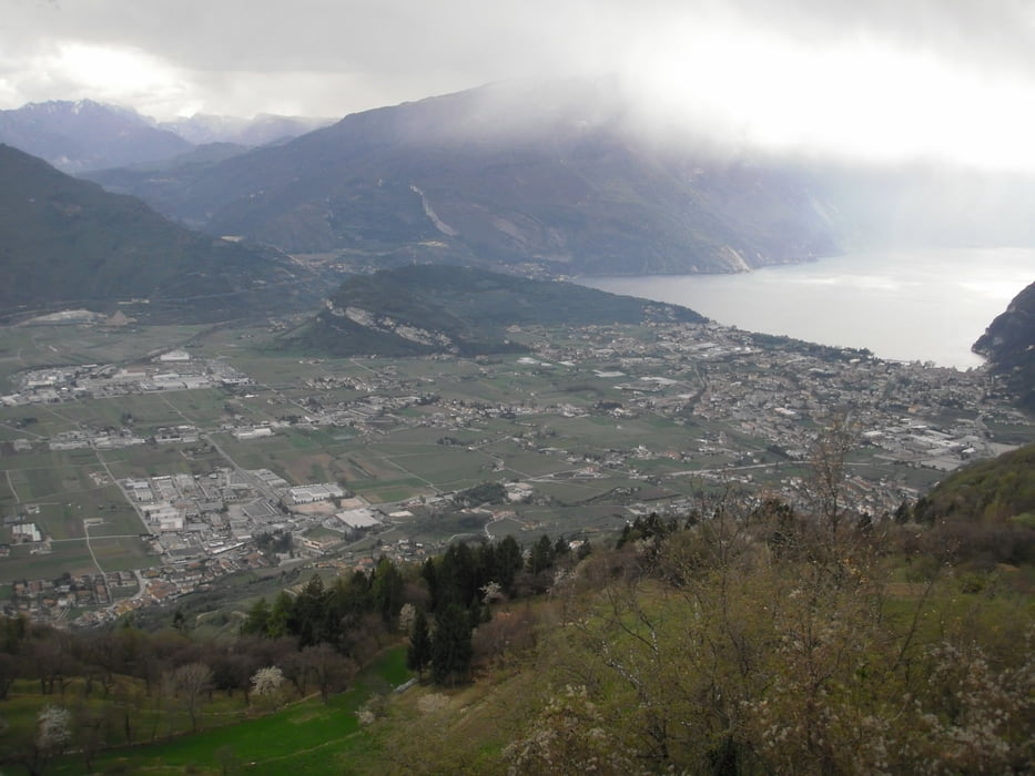
Start in Torbole,weiter Richtung Arco über gemeine Rampen nach Padaro hoch.bei Doss.Del Clef links Richtung Boca di Tovo.Steigung ab hier ca 10%.Bei höchsten Punkt links den Trail runter(S2-S3) Richtung Malga di Tovo.Ab hier etwas hügelig weiter.Bei der Asphaltstraße großes Holzkreuz geht der Trail links weiter Richtung Canale.
Dann wieder Kopfsteinpflaster Richtung Tenno.Von dort den bekannten Trail Richtung Riva und weiter auf Radwege nach Torbole.
Viel spass...
Mapa trasy i profil wysokości
Minimum height 50 m
Maximum height 1106 m
More about the tour author
|
|
josef_zinganel |
Komentarze

GPS tracks
Trackpoints-
GPX / Garmin Map Source (gpx) download
-
TCX / Garmin Training Center® (tcx) download
-
CRS / Garmin Training Center® (crs) download
-
Google Earth (kml) download
-
G7ToWin (g7t) download
-
TTQV (trk) download
-
Overlay (ovl) download
-
Fugawi (txt) download
-
Kompass (DAV) Track (tk) download
-
Karta trasy (pdf) download
-
Original file of the author (gpx) download
More about the tour author
|
|
josef_zinganel |
Add to my favorites
Remove from my favorites
Edit tags
Open track
My score
Rate