


„Heilsame Wanderung“
Mittwoch, 9. Mai, 14 Uhr Cham
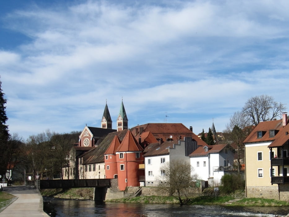
Cham´s Sonnenseite
Bei dieser Wanderung ganz nahe der hektischen Betriebsamkeit der Kreisstadt Cham werden die Teilnehmer eingeladen, sich bewusst mit allen Sinnen auf die Natur einzulassen. An Kraftorten am Weg gibt es Denkanstösse oder auch mal ein Lied zu hören.
Vorbei an der Chambmündung in den Regen wird der Standort eines untergegangenen Dorfes erkundet. Spirituelle Impulse am ostbayerischen Jakobsweg und Denkwürdiges beim Biertor.
Treffpunkt: Eingang Freibad Cham
Wanderstrecke: 7 km ohne wesentlichen Höhenunterschied
Kosten: 4 € pro Teilnehmer
Anmeldung bis 6.5. bei Rudi Simeth: Tel 09977/904510 – Mail: waldaugen@t-online.de
Begleiter: Rudi Simeth, Natur- und Landschaftsführer
Further information at
http://www.naturpark-obw.de/Galeria trasy


Mapa trasy i profil wysokości
Minimum height 360 m
Maximum height 369 m
More about the tour author
|
|
waldaugen |
Komentarze

Von allen Richtungen in die Kreisstadt Cham. Parkmöglichkeiten im Parkhaus am Floßhafen
GPS tracks
Trackpoints-
GPX / Garmin Map Source (gpx) download
-
TCX / Garmin Training Center® (tcx) download
-
CRS / Garmin Training Center® (crs) download
-
Google Earth (kml) download
-
G7ToWin (g7t) download
-
TTQV (trk) download
-
Overlay (ovl) download
-
Fugawi (txt) download
-
Kompass (DAV) Track (tk) download
-
Karta trasy (pdf) download
-
Original file of the author (gpx) download
More about the tour author
|
|
waldaugen |
Add to my favorites
Remove from my favorites
Edit tags
Open track
My score
Rate