Login

Zapomniałeś swój login?

Cookies have to be accepted!
Your browser's cookie functionality is disabled. Please enable this functionality.

Not a member yet?

Register now
Login

Available for registred users only

Log in to use this feature.

Zapomniałeś swój login?

Cookies have to be accepted!
Your browser's cookie functionality is disabled. Please enable this functionality.

Not a member yet?

Register now
Filter
Kategorie
Advanced filters
  • Długość (km)
  • Wysokość
Zapisz filtr Reset filter

TrackRank

QRCode

Technical data

Długość36,0 km Wysokość813 m Way down869 m Czas trwania02:15 h:m Data22.04.2012
Oceny Author Krajobraz Czynnik zadowolenia Kondycja Technika

Statystyka

1126 Widoki 1 Ocena 369 Downloads / Pliki do pobrania 4.00 Przeciętnie
Rate
  • Karta trasy
  • Dojazd
  • Downloads / Pliki do pobrania

Kurze Runde zum Geniesen

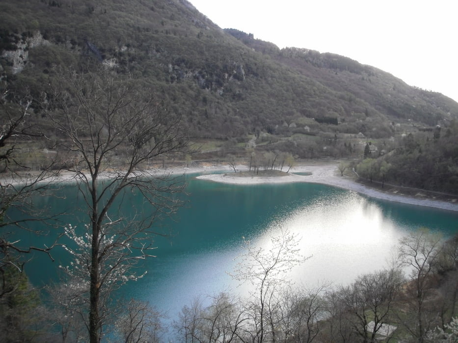
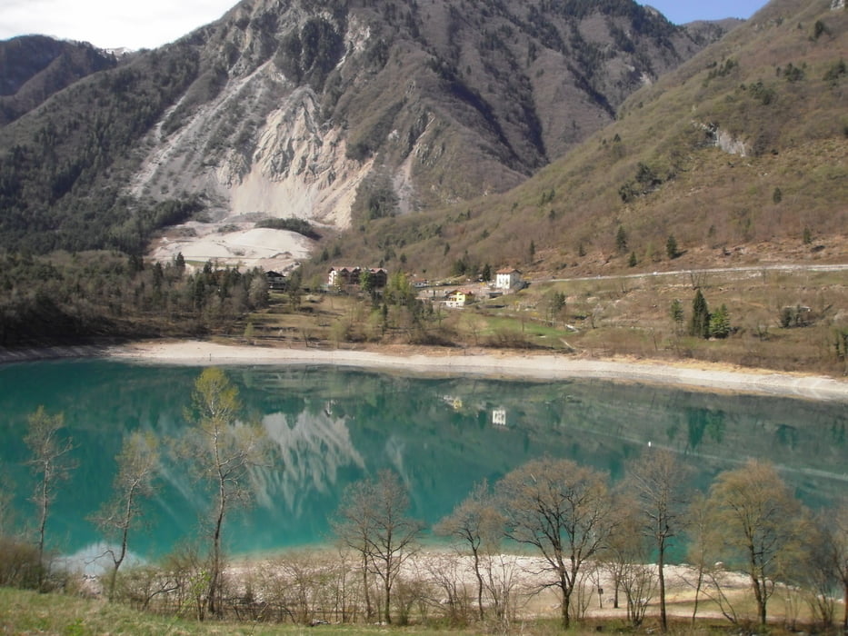
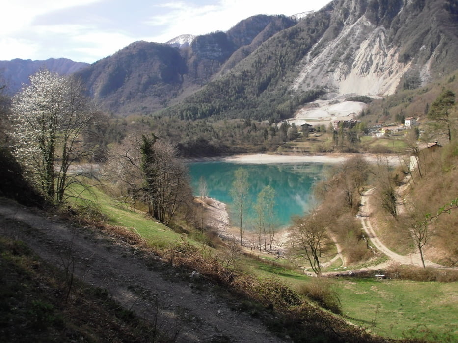
Start in Torbole,weiter nach Riva und nach Varone Richtung Pranzo.Vorbei am Tennosee zum Ballinopass.Rechts richtung Misone.Am Höchsten Punkt Castil schöne Abfahrt auf Forst und Trailwege zum Tennosee.

Durch CAnale durch und weiter auf schöne Wege nach Varignana.Weiter nach Arco und zurück über Radweg nach Torbole.

Weiter zum Ausgangspunkt

Galeria trasy

Mapa trasy i profil wysokości

  • Open Street Map
  • Google
Minimum height 70 m Maximum height 811 m Widok szczegółowy

More about the tour author

josef_zinganel
Member since 2009

Send private message

Komentarze

GPS tracks

Trackpoints
  • GPX / Garmin Map Source (gpx) download
  • TCX / Garmin Training Center® (tcx) download
  • CRS / Garmin Training Center® (crs) download
  • Google Earth (kml) download
  • G7ToWin (g7t) download
  • TTQV (trk) download
  • Overlay (ovl) download
  • Fugawi (txt) download
  • Kompass (DAV) Track (tk) download
  • Karta trasy (pdf) download
  • Original file of the author (gpx) download

More about the tour author

josef_zinganel
Member since 2009

Send private message
Share track
Add to my favorites
Remove from my favorites
Edit tags
My score
Rate
Trasa: Ballino
Rodzaj: Rower górski (MTB)
Długość: 36,0 km
Evaluated on:
Czas trwania:
Day(s)
Hour(s)
Minute(s)
Ocena: Krajobraz Czynnik zadowolenia Kondycja Technika