


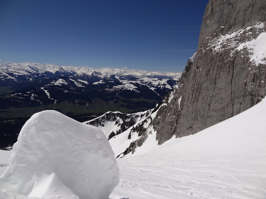
Vom Parkplatz gehts gemütlich Richtung Gaudeamushütte. Jedoch nicht zur Hütte aufsteigen, sondern vorher nach links (Norden) abdrehen und direkt zu einer Steilstufe gehen. Die Steilstufe führt uns direkt in das Kübelkar zwischen den Felswänden der Karlspitze und der Vord. Goinger Halt/Törlspitze. Ein kurzes Stück ist es etwas flacher, später wird dann das Gelände wieder steiler und wir halten uns immer Richtung Norden. Kurz vor unserem Ziel queren wir noch den Westhang unter der Vord. Goinger Halt und so erreichen wir das Ellmauer Tor.
Further information at
http://www.gipfelkreuz.de/ellmauer_tor_2010_m.htmlGaleria trasy


Mapa trasy i profil wysokości
Minimum height 1071 m
Maximum height 2012 m
More about the tour author
|
|
Similaun |
Komentarze

Vom Autobahndreieck Inntal Richtung Innsbruck und weiter bis zur Ausfahrt Kufstein Süd. Nun immer den Schildern auf der B173 Felberntauern/Kitzbühel folgen. Anschließßend zur (178 auffahren und bis nach Ellmau. Hier links ab zur Wochenbrunner Alm.
GPS tracks
Trackpoints-
GPX / Garmin Map Source (gpx) download
-
TCX / Garmin Training Center® (tcx) download
-
CRS / Garmin Training Center® (crs) download
-
Google Earth (kml) download
-
G7ToWin (g7t) download
-
TTQV (trk) download
-
Overlay (ovl) download
-
Fugawi (txt) download
-
Kompass (DAV) Track (tk) download
-
Karta trasy (pdf) download
-
Original file of the author (gpx) download
More about the tour author
|
|
Similaun |
Add to my favorites
Remove from my favorites
Edit tags
Open track
My score
Rate