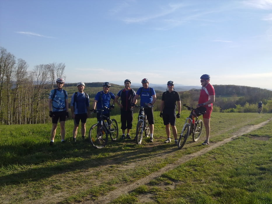
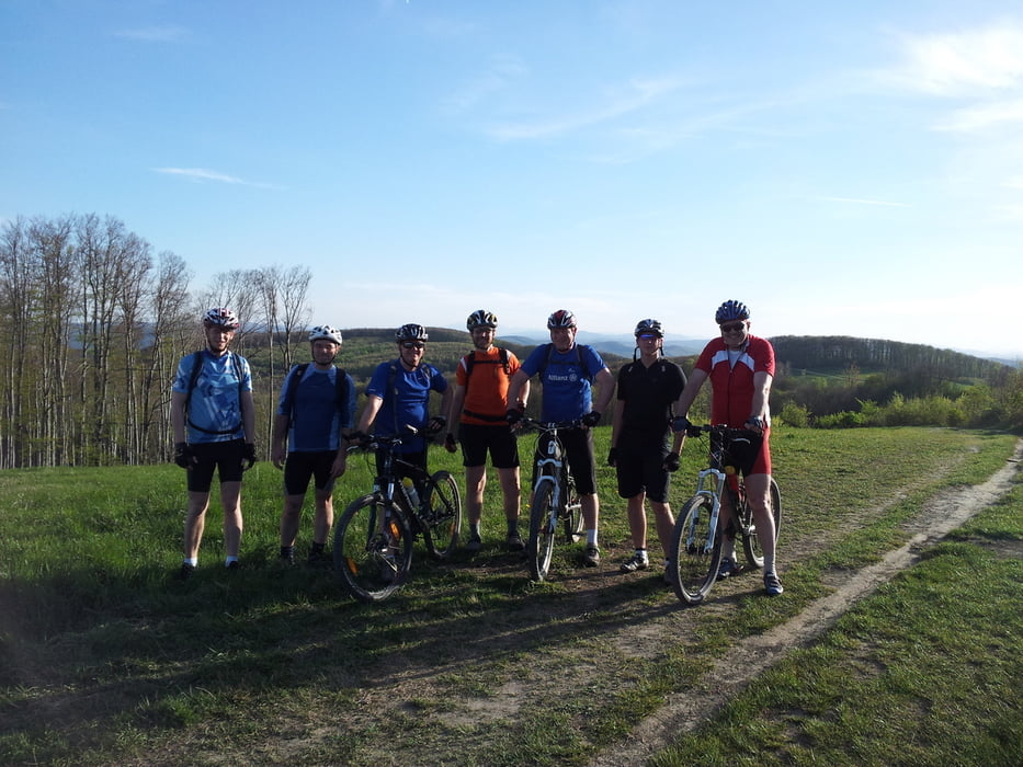
Wientalradweg bis Wolf in der Au, durch das Rückhaltebecken des Mauerbaches zur Anzengruberstarße, ca 150 die Stinglgasse bergauf, danach in die Salzwiese einfahren und über einen Singeltrail zur Forstraße Richtung Sofienalm, vom Excelberg abfahrt zum Schottenhof, aufstieg zur Kreuzeichenwiese und Jubiläumswarte, Singeltrail zum Satzberg und über Steinböckenstraße und Silbersee zurück ins Wiental
Galeria trasy
Mapa trasy i profil wysokości
Minimum height 195 m
Maximum height 512 m
Komentarze

GPS tracks
Trackpoints-
GPX / Garmin Map Source (gpx) download
-
TCX / Garmin Training Center® (tcx) download
-
CRS / Garmin Training Center® (crs) download
-
Google Earth (kml) download
-
G7ToWin (g7t) download
-
TTQV (trk) download
-
Overlay (ovl) download
-
Fugawi (txt) download
-
Kompass (DAV) Track (tk) download
-
Karta trasy (pdf) download
-
Original file of the author (gpx) download
Add to my favorites
Remove from my favorites
Edit tags
Open track
My score
Rate


