Login

Zapomniałeś swój login?

Cookies have to be accepted!
Your browser's cookie functionality is disabled. Please enable this functionality.

Not a member yet?

Register now
Login

Available for registred users only

Log in to use this feature.

Zapomniałeś swój login?

Cookies have to be accepted!
Your browser's cookie functionality is disabled. Please enable this functionality.

Not a member yet?

Register now
Filter
Kategorie
Advanced filters
  • Długość (km)
  • Wysokość
Zapisz filtr Reset filter

TrackRank

QRCode

Technical data

Długość57,1 km Wysokość508 m Way down438 m Czas trwania02:58 h:m Data28.04.2012
Oceny Author Krajobraz Czynnik zadowolenia Kondycja Technika

Statystyka

327 Widoki Oceny 24 Downloads / Pliki do pobrania Przeciętnie
Rate
  • Karta trasy
  • Dojazd
  • Downloads / Pliki do pobrania
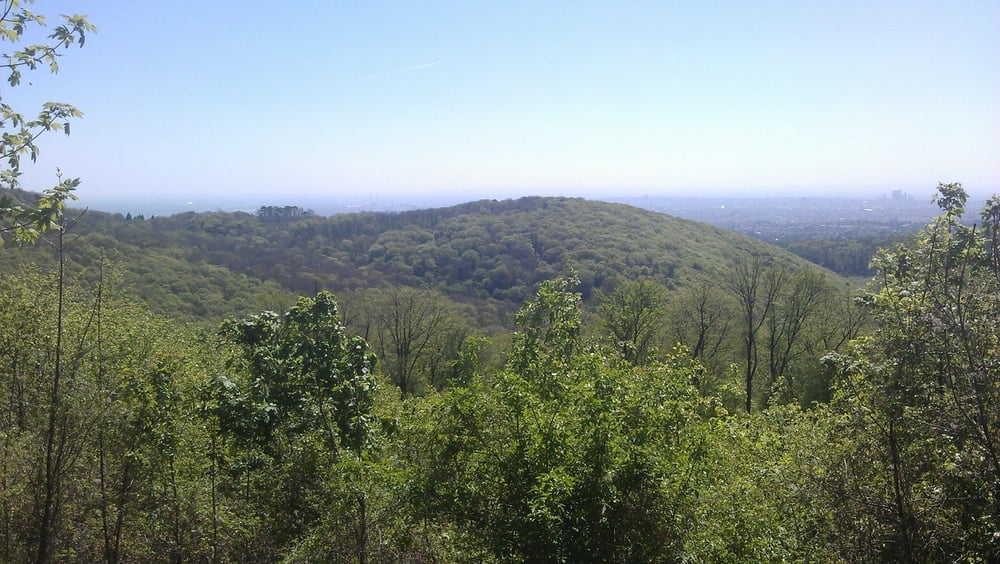
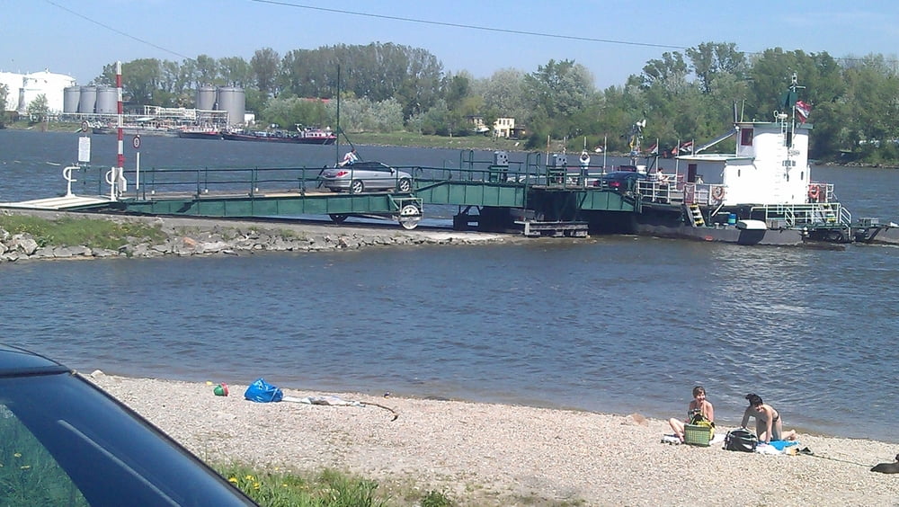
Die Tour beginnt in Wien 22 und führt zunächst auf die Donauinsel. Stromaufwärts fahren wir bis Nußdorf. Über den Beethovengang fahren wir in den Wienerwald. Im Wienerwald angelangt fahren wir nach Klosterneuburg zur Rollfähre Korneuburg. Der Singeltral bergab ist super, aber auch technisch anspruchsvoll. In Klosterneuburg queren wir die Donau und fahren um den Bisamberg wieder nach Wien retour. Die Rollfähre kostet mit dem Rad 2,8 €.

Galeria trasy

Mapa trasy i profil wysokości

  • Open Street Map
  • Google
Minimum height 88 m Maximum height 491 m Widok szczegółowy

More about the tour author

pentit
Member since 2012

Send private message

Komentarze

GPS tracks

Trackpoints
  • GPX / Garmin Map Source (gpx) download
  • TCX / Garmin Training Center® (tcx) download
  • CRS / Garmin Training Center® (crs) download
  • Google Earth (kml) download
  • G7ToWin (g7t) download
  • TTQV (trk) download
  • Overlay (ovl) download
  • Fugawi (txt) download
  • Kompass (DAV) Track (tk) download
  • Karta trasy (pdf) download
  • Original file of the author (gpx) download

More about the tour author

pentit
Member since 2012

Send private message
Share track
Add to my favorites
Remove from my favorites
Edit tags
My score
Rate
Trasa: Kurze Wienerwaldrunde
Rodzaj: Rower górski (MTB)
Długość: 57,1 km
Evaluated on:
Czas trwania:
Day(s)
Hour(s)
Minute(s)
Ocena: Krajobraz Czynnik zadowolenia Kondycja Technika