
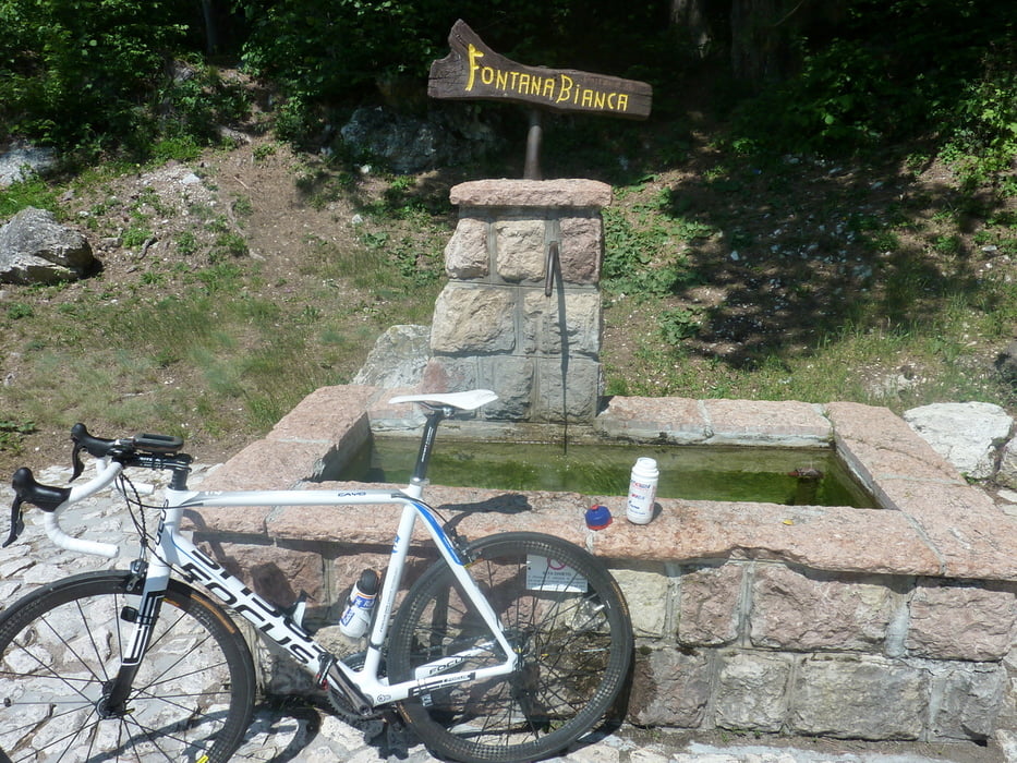

Von Dettendorf bei Bad Feilnbach nach Irschenberg und auf kleineren Wegen um den Irschenberg herum dann schnelle Abfahrt nach Götting , (Treffpunkt der Radtruppe in Vagen) weiter nach Bad Feilnbach ,Brannenburg, Nußdorf nach Windshausen ehem. Grenze nach Österreich. . Kurz nach der Zollbrücke die wir rechts liegenlassen links in eine kleine Straße einbiegen und zum Ortsrand von Niederndorf fahren , von da an in der Siedling links rauf auf den Erlerberg, (Rechts super Blick auf den Kaiser )Abfahrt nach Sachrang und zurück über Aschau, Neubeuern, Bad Feilnbach zum Ausgangspunkt.
Mapa trasy i profil wysokości
Minimum height 461 m
Maximum height 944 m
More about the tour author
|
|
markus-w |
Komentarze

Dettendorf bei Bad Feilnbach 83075
GPS tracks
Trackpoints-
GPX / Garmin Map Source (gpx) download
-
TCX / Garmin Training Center® (tcx) download
-
CRS / Garmin Training Center® (crs) download
-
Google Earth (kml) download
-
G7ToWin (g7t) download
-
TTQV (trk) download
-
Overlay (ovl) download
-
Fugawi (txt) download
-
Kompass (DAV) Track (tk) download
-
Karta trasy (pdf) download
-
Original file of the author (gpx) download
More about the tour author
|
|
markus-w |
Add to my favorites
Remove from my favorites
Edit tags
Open track
My score
Rate