Login

Zapomniałeś swój login?

Cookies have to be accepted!
Your browser's cookie functionality is disabled. Please enable this functionality.

Not a member yet?

Register now
Login

Available for registred users only

Log in to use this feature.

Zapomniałeś swój login?

Cookies have to be accepted!
Your browser's cookie functionality is disabled. Please enable this functionality.

Not a member yet?

Register now
Filter
Kategorie
Advanced filters
  • Długość (km)
  • Wysokość
Zapisz filtr Reset filter

TrackRank

QRCode

Technical data

Długość52,3 km Wysokość1578 m Way down1556 m Czas trwania1 day 5 h Data30.04.2012
Oceny Author Krajobraz Czynnik zadowolenia Kondycja Technika

Statystyka

649 Widoki 1 Ocena 125 Downloads / Pliki do pobrania 4.00 Przeciętnie
Rate
  • Karta trasy
  • Dojazd
  • Downloads / Pliki do pobrania

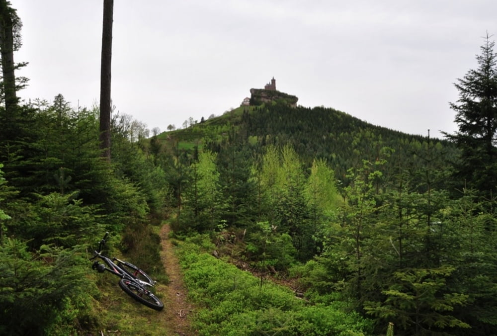
Trailrunde ab Engenthal
Hoher Trailanteil, daher gute Kondition erforderlich.
Neben dem ersten Anstieg ab Engenthal gibt es bei km 37 noch eine blöde Auffahrt auf einem holprigen Forstweg.
Schöne Tour mit einigen Highlights.


Further information at

http://randypanguitch.wordpress.com/mtb-touren/tagestouren/tagestouren_frankreich/tt_f_engenthal_trailtour/

Galeria trasy

Mapa trasy i profil wysokości

  • Open Street Map
  • Google
Minimum height 307 m Maximum height 807 m Widok szczegółowy

More about the tour author

RandB
Member since 2006

Send private message

Komentarze

GPS tracks

Trackpoints
  • GPX / Garmin Map Source (gpx) download
  • TCX / Garmin Training Center® (tcx) download
  • CRS / Garmin Training Center® (crs) download
  • Google Earth (kml) download
  • G7ToWin (g7t) download
  • TTQV (trk) download
  • Overlay (ovl) download
  • Fugawi (txt) download
  • Kompass (DAV) Track (tk) download
  • Karta trasy (pdf) download
  • Original file of the author (gpx) download

More about the tour author

RandB
Member since 2006

Send private message
Share track
Add to my favorites
Remove from my favorites
Edit tags
My score
Rate
Trasa: Engenthal - Trailrunde
Rodzaj: Rower górski (MTB)
Długość: 52,3 km
Evaluated on:
Czas trwania:
Day(s)
Hour(s)
Minute(s)
Ocena: Krajobraz Czynnik zadowolenia Kondycja Technika