Login

Zapomniałeś swój login?

Cookies have to be accepted!
Your browser's cookie functionality is disabled. Please enable this functionality.

Not a member yet?

Register now
Login

Available for registred users only

Log in to use this feature.

Zapomniałeś swój login?

Cookies have to be accepted!
Your browser's cookie functionality is disabled. Please enable this functionality.

Not a member yet?

Register now
Filter
Kategorie
Advanced filters
  • Długość (km)
  • Wysokość
Zapisz filtr Reset filter

TrackRank

QRCode

Technical data

Długość9,4 km Wysokość343 m Way down303 m Czas trwania02:00 h:m Data05.05.2012
Oceny Author Krajobraz Czynnik zadowolenia Kondycja Technika

Statystyka

592 Widoki Oceny 34 Downloads / Pliki do pobrania Przeciętnie
Rate
  • Karta trasy
  • Dojazd
  • Downloads / Pliki do pobrania
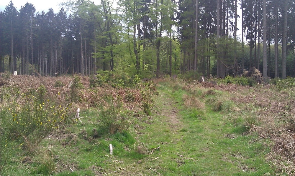
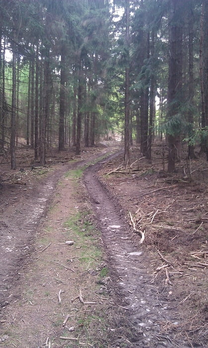
Hier eine kleine, knapp zweistündige Wanderung mit Etappen auf angelegten Waldwegen und einigen Abschnitten auf Trampelpfaden rund um das Franzosenkreuz im Bereich der Laufenburg bei Langerwehe.

Galeria trasy

Mapa trasy i profil wysokości

  • Open Street Map
  • Google
Minimum height 179 m Maximum height 330 m Widok szczegółowy

More about the tour author

El_Don
Member since 2012

Send private message

Komentarze

Ist man einmal in Langerwehe fährt man Richtung Schönthal/Wenau. Kurz vor der Abzweigung nach Wenau erscheint auf der linken Seite das Zufahrtsschild zum Restaurant Laufenburg. Dort befindet sich ein großer Parkplatz, von welchem die Route startet.

GPS tracks

Trackpoints
  • GPX / Garmin Map Source (gpx) download
  • TCX / Garmin Training Center® (tcx) download
  • CRS / Garmin Training Center® (crs) download
  • Google Earth (kml) download
  • G7ToWin (g7t) download
  • TTQV (trk) download
  • Overlay (ovl) download
  • Fugawi (txt) download
  • Kompass (DAV) Track (tk) download
  • Karta trasy (pdf) download
  • Original file of the author (gpx) download

More about the tour author

El_Don
Member since 2012

Send private message
Share track
Add to my favorites
Remove from my favorites
Edit tags
My score
Rate
Trasa: kurze Wanderung am Franzosenkreuz
Rodzaj: Wędrówki
Długość: 9,4 km
Evaluated on:
Czas trwania:
Day(s)
Hour(s)
Minute(s)
Ocena: Krajobraz Czynnik zadowolenia Kondycja Technika