Login

Zapomniałeś swój login?

Cookies have to be accepted!
Your browser's cookie functionality is disabled. Please enable this functionality.

Not a member yet?

Register now
Login

Available for registred users only

Log in to use this feature.

Zapomniałeś swój login?

Cookies have to be accepted!
Your browser's cookie functionality is disabled. Please enable this functionality.

Not a member yet?

Register now
Filter
Kategorie
Advanced filters
  • Długość (km)
  • Wysokość
Zapisz filtr Reset filter

TrackRank

QRCode

Technical data

Długość50,2 km Wysokość1179 m Way down1135 m Czas trwania04:35 h:m Data05.05.2012
Oceny Author Krajobraz Czynnik zadowolenia Kondycja Technika

Statystyka

697 Widoki Oceny 67 Downloads / Pliki do pobrania Przeciętnie
Rate
  • Karta trasy
  • Dojazd
  • Downloads / Pliki do pobrania
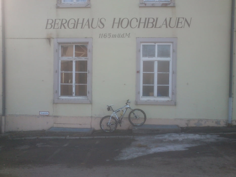
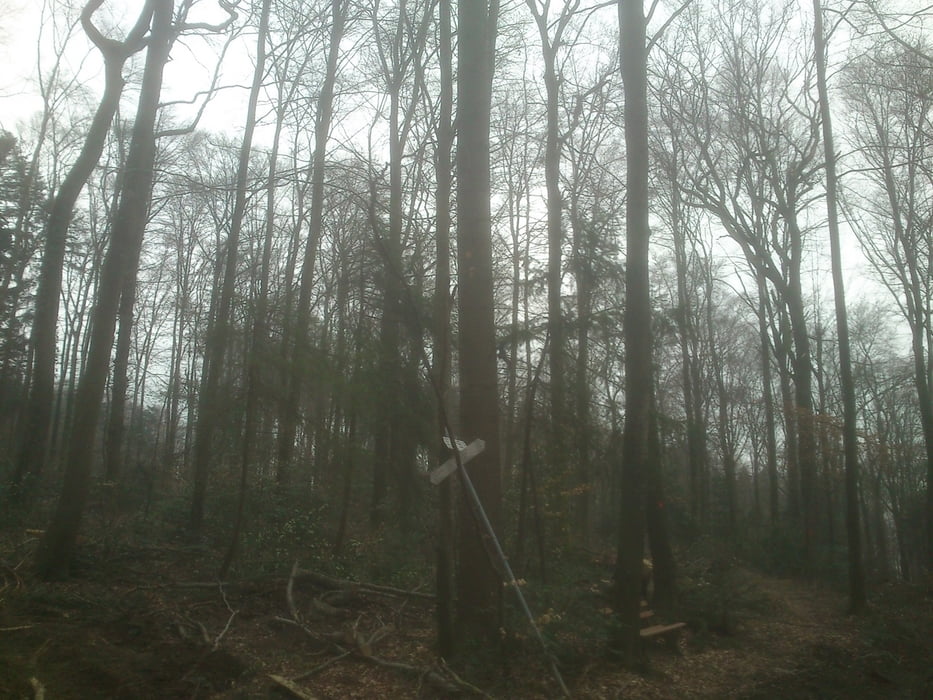
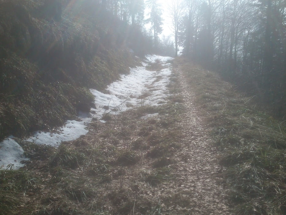
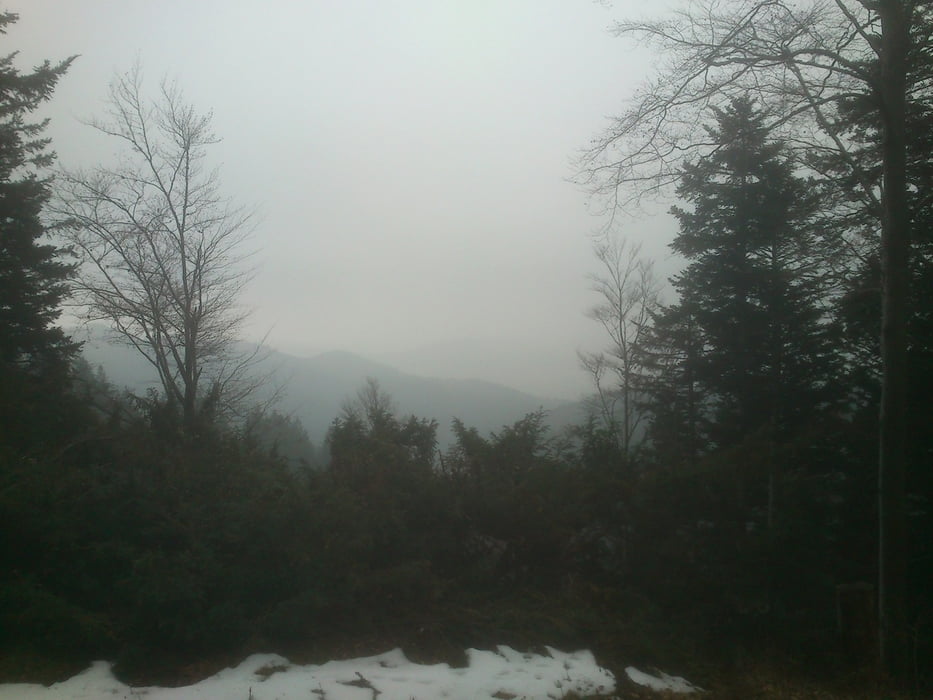
Die Tour beginnt auf dem Schliengener Berg, von dort gehts runter nach Schliengen, über Mauchen vorbei an Feldberg, Sehringen über einige Singletrails auf den Hochblauen. Dann Singletrail runter nach Marzell über Malsburg, Kandern, Tannenkirch zurück zum ausgangsort.

Galeria trasy

Mapa trasy i profil wysokości

  • Open Street Map
  • Google
Minimum height 212 m Maximum height 1183 m Widok szczegółowy

More about the tour author

tortie
Member since 2011

Send private message

Komentarze

B3 folgen bis auf Den Schliengener Berg, dort bei der Strausi oder beim Reiterhof parken

GPS tracks

Trackpoints
  • GPX / Garmin Map Source (gpx) download
  • TCX / Garmin Training Center® (tcx) download
  • CRS / Garmin Training Center® (crs) download
  • Google Earth (kml) download
  • G7ToWin (g7t) download
  • TTQV (trk) download
  • Overlay (ovl) download
  • Fugawi (txt) download
  • Kompass (DAV) Track (tk) download
  • Karta trasy (pdf) download
  • Original file of the author (gpx) download

More about the tour author

tortie
Member since 2011

Send private message
Share track
Add to my favorites
Remove from my favorites
Edit tags
My score
Rate
Trasa: Schliengen-Blauen-Kandern
Rodzaj: Rower górski (MTB)
Długość: 50,2 km
Evaluated on:
Czas trwania:
Day(s)
Hour(s)
Minute(s)
Ocena: Krajobraz Czynnik zadowolenia Kondycja Technika