


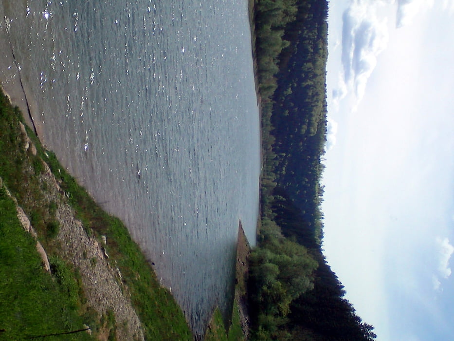
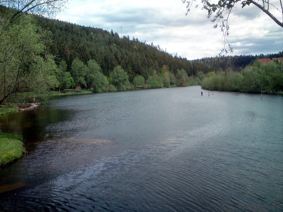
Schöne Tour durch den nördlichen Schwarzwald zur Nagoldtalsperre mit Bade- und Einkehrmöglichkeit.
Dies ist eine Kombination aus 2 Touren (4+10) der MTB-Karte "Naturpark Schwarzwald Mitte / Nord". Die Tour ist größtenteils ausgeschildert, also einfach nur den gelben MTB-Schildchen folgen :-)
An der Erzgrube (Nagoldtalsperre) gibt es eine schöne Einkehrmöglichkeit im Restaurant "Seeheiner" in der Mitte vom See auf der anderen Seite der Tour (Brücke), wo man auch gut essen kann. Aber nicht zu viel, es geht danach wieder steil bergauf ;-)
Kurz vor Ende bei Hallwangen, nach Querung der Straße K4728, habe ich mich verfahren. Hier hätte ich nach ca. 200-300 m rechts abbiegen müssen, desshalb die kurze Straßeneinlage. Wer da abbiegt, kommt nach ca. 1,5 km wieder auf die Strecke zurück.
Galeria trasy
Mapa trasy i profil wysokości
Minimum height 528 m
Maximum height 761 m
More about the tour author
|
|
racejibe |
Komentarze

Von der B28A bei Dornstetten in Richtung Sportplatz abbiegen. Ausgeschildeter Parkplatz an der Cresbacher Straße nach ca. 300 m rechts.
GPS tracks
Trackpoints-
GPX / Garmin Map Source (gpx) download
-
TCX / Garmin Training Center® (tcx) download
-
CRS / Garmin Training Center® (crs) download
-
Google Earth (kml) download
-
G7ToWin (g7t) download
-
TTQV (trk) download
-
Overlay (ovl) download
-
Fugawi (txt) download
-
Kompass (DAV) Track (tk) download
-
Karta trasy (pdf) download
-
Original file of the author (gpx) download
More about the tour author
|
|
racejibe |
Add to my favorites
Remove from my favorites
Edit tags
Open track
My score
Rate