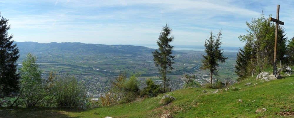
Alternative Auffahrt zu Tour 99342 und modifizierte Abfahrt mit Schleife über Kapf (schöner Blick ins Rheintal und zum Bodensee).
Further information at
http://www.millruette.at/no_cache/webcamwetter.htmlGaleria trasy
Mapa trasy i profil wysokości
Minimum height 417 m
Maximum height 1151 m
Komentarze
parken in Götzis am Trackbeginn.
GPS tracks
Trackpoints-
GPX / Garmin Map Source (gpx) download
-
TCX / Garmin Training Center® (tcx) download
-
CRS / Garmin Training Center® (crs) download
-
Google Earth (kml) download
-
G7ToWin (g7t) download
-
TTQV (trk) download
-
Overlay (ovl) download
-
Fugawi (txt) download
-
Kompass (DAV) Track (tk) download
-
Karta trasy (pdf) download
-
Original file of the author (gpx) download
Add to my favorites
Remove from my favorites
Edit tags
Open track
My score
Rate


...perfekt
Die Abfahrt bleibt nach wie vor sehr knackig.
Tolle Passagen, Adrenalinpower pur.
...perfekt!