Login

Zapomniałeś swój login?

Cookies have to be accepted!
Your browser's cookie functionality is disabled. Please enable this functionality.

Not a member yet?

Register now
Login

Available for registred users only

Log in to use this feature.

Zapomniałeś swój login?

Cookies have to be accepted!
Your browser's cookie functionality is disabled. Please enable this functionality.

Not a member yet?

Register now
Filter
Kategorie
Advanced filters
  • Długość (km)
  • Wysokość
Zapisz filtr Reset filter

TrackRank

QRCode

Technical data

Długość29,5 km Wysokość0 m Way down0 m Czas trwania04:00 h:m Data13.05.2012
Oceny Author User Krajobraz Czynnik zadowolenia Kondycja Technika

Statystyka

1070 Widoki 1 Ocena 218 Downloads / Pliki do pobrania 5.00 Przeciętnie
Rate
  • Karta trasy
  • Dojazd
  • Downloads / Pliki do pobrania

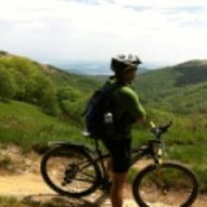
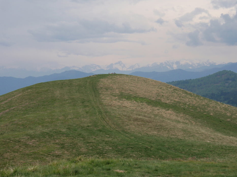
Bellissimo itinerario che si snoda sotto le pendici del Mottarone per arrivare infine al Monte Falò (1100mt). Il loop prevede la percorrenza di strade asfaltate sebbene la maggioranza sia off road.

Bellissimi scorci naturali sul Lago Maggiore e le Alpi. Stagione ideale: maggio-settembre.

Galeria trasy

Mapa trasy i profil wysokości

  • Open Street Map
  • Google
Minimum height 99999 m Maximum height -99999 m Widok szczegółowy

More about the tour author

Airbusdriver
Member since 2012

Send private message

Komentarze

Holzmaker on 04.09.2018

super TrailTour

Eine geniale Tour. Schöne Aussichten. Super Abfahrt am Schluss mit schönen Trails. Tour ist recht flowig zu fahren.
Uscire dalla A26 a Carpugnino e in 5 km si arriva a Gignese.

GPS tracks

Trackpoints
  • GPX / Garmin Map Source (gpx) download
  • TCX / Garmin Training Center® (tcx) download
  • CRS / Garmin Training Center® (crs) download
  • Google Earth (kml) download
  • G7ToWin (g7t) download
  • TTQV (trk) download
  • Overlay (ovl) download
  • Fugawi (txt) download
  • Kompass (DAV) Track (tk) download
  • Karta trasy (pdf) download
  • Original file of the author (gpx) download

More about the tour author

Airbusdriver
Member since 2012

Send private message
Share track
Add to my favorites
Remove from my favorites
Edit tags
My score
Rate
Trasa: Gignese - Monte Falò - Gignese
Rodzaj: Rower górski (MTB)
Długość: 29,5 km
Evaluated on:
Czas trwania:
Day(s)
Hour(s)
Minute(s)
Ocena: Krajobraz Czynnik zadowolenia Kondycja Technika