Login

Zapomniałeś swój login?

Cookies have to be accepted!
Your browser's cookie functionality is disabled. Please enable this functionality.

Not a member yet?

Register now
Login

Available for registred users only

Log in to use this feature.

Zapomniałeś swój login?

Cookies have to be accepted!
Your browser's cookie functionality is disabled. Please enable this functionality.

Not a member yet?

Register now
Filter
Kategorie
Advanced filters
  • Długość (km)
  • Wysokość
Zapisz filtr Reset filter

TrackRank

QRCode

Technical data

Długość60,6 km Wysokość705 m Way down696 m Czas trwania00:00 h:m Data13.05.2012
Oceny Author Krajobraz Czynnik zadowolenia Kondycja Technika

Statystyka

575 Widoki 1 Ocena 66 Downloads / Pliki do pobrania 4.00 Przeciętnie
Rate
  • Karta trasy
  • Dojazd
  • Downloads / Pliki do pobrania

Über Rottenegg und die alte Bundesstrasse nach Gerling.

Weiter nach St. Martin, über Grub, Falkenberg und Plöcking nach Kleinzell.

Von Kleinzell zur alten Bundesstrasse 127 und hinunter zur Großen Mühl.

Ab hier geht es auf Wald und Wiesenweg hinunter zur Donau.

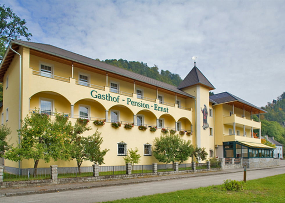
Einkehr beim GH Ernst. ( Gute heiße Suppe)

Mit der Fähre fahren wir um die Felsen um wieder am Land angekommen entlang der Donau und des Donauweges heim zugrooven.


Galeria trasy

Mapa trasy i profil wysokości

  • Open Street Map
  • Google
Minimum height 262 m Maximum height 585 m Widok szczegółowy

More about the tour author

bikenik
Member since 2010

Send private message

Komentarze

GPS tracks

Trackpoints
  • GPX / Garmin Map Source (gpx) download
  • TCX / Garmin Training Center® (tcx) download
  • CRS / Garmin Training Center® (crs) download
  • Google Earth (kml) download
  • G7ToWin (g7t) download
  • TTQV (trk) download
  • Overlay (ovl) download
  • Fugawi (txt) download
  • Kompass (DAV) Track (tk) download
  • Karta trasy (pdf) download
  • Original file of the author (gpx) download

More about the tour author

bikenik
Member since 2010

Send private message
Share track
Add to my favorites
Remove from my favorites
Edit tags
My score
Rate
Trasa: Große Mühlrunde
Rodzaj: Rower górski (MTB)
Długość: 60,6 km
Evaluated on:
Czas trwania:
Day(s)
Hour(s)
Minute(s)
Ocena: Krajobraz Czynnik zadowolenia Kondycja Technika