


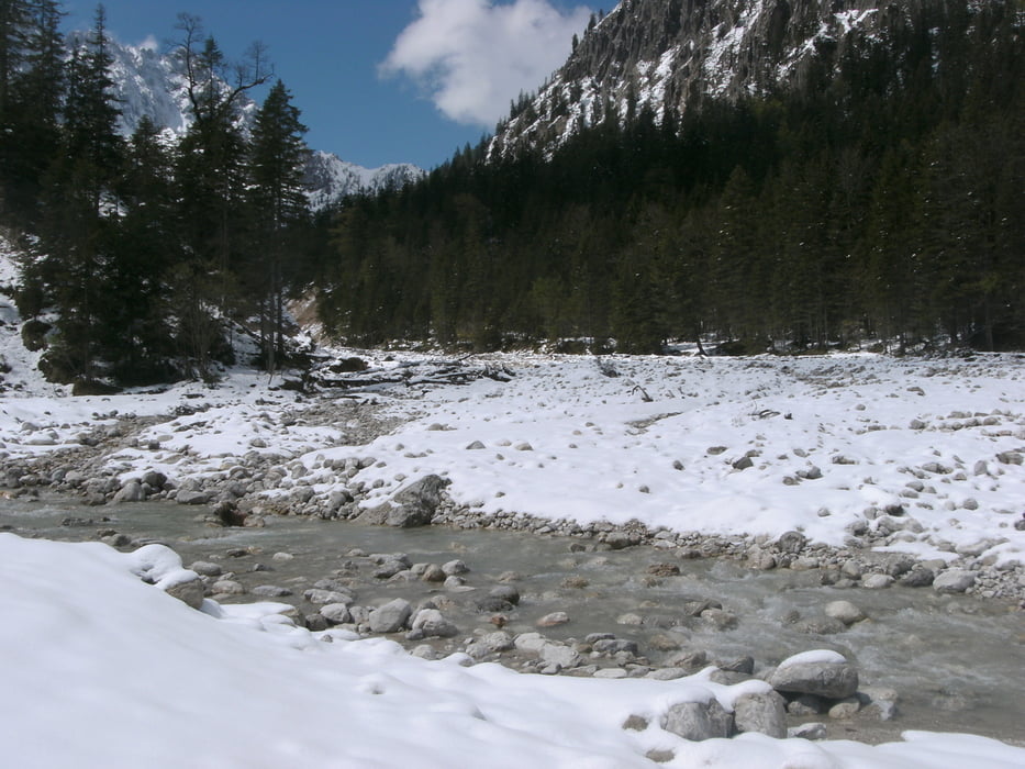
Nach dem Start am Parkplatz geht es kurz auf einem Wanderweg in Richtung Kaserne, hier angekommen beginnt der erste Aufstieg ca 500hm auf geschottertem Waldwegen mit schönem Blick aufs Karwendelpanorama. Oben angekommen folgt die Abfahrt bis zur deutsch/österreichischen Grenze hier muss dann ein Bach/Fluß überquert werden.
Der nächste Anstieg fällt in einen Nordhang bei dem je nach Wetterlage noch etwas Schnee liegen kann.
Die letzte Abfahrt ins Rißtal bis nach Hinterriß erfolgt ebenfalls auf gut geschotterten Straßen.
Übernachtung ist dann im Gasthof zur Post in Hinterriß. Hier ist das Säubern/Abstellen sowie Trocknen der Ausrüstung möglich.
Galerija izletov

Zemljevid in višinski profil izleta
Minimum height 912 m
Maximum height 1435 m
More about the tour author
|
|
claus212 |
Komentarji

Mittenwald Alpenkorpsstraße 1 Parkplatz 3 (Mountainbike Parkplatz)
Poti GPS
Trackpoints-
GPX / Garmin Map Source (gpx) download
-
TCX / Garmin Training Center® (tcx) download
-
CRS / Garmin Training Center® (crs) download
-
Google Earth (kml) download
-
G7ToWin (g7t) download
-
TTQV (trk) download
-
Overlay (ovl) download
-
Fugawi (txt) download
-
Kompass (DAV) Track (tk) download
-
List z izleti (pdf) download
-
Original file of the author (gpx) download
More about the tour author
|
|
claus212 |
Add to my favorites
Remove from my favorites
Edit tags
Open track
My score
Rate