


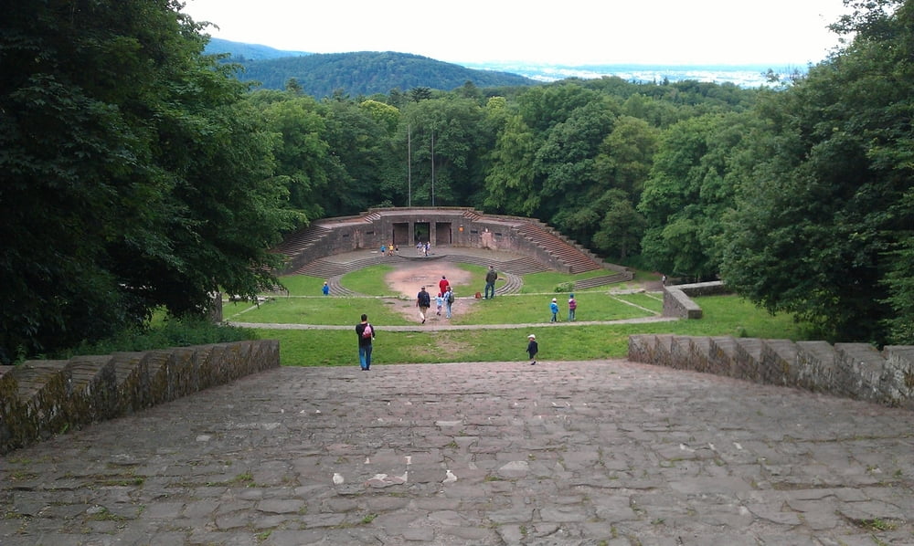
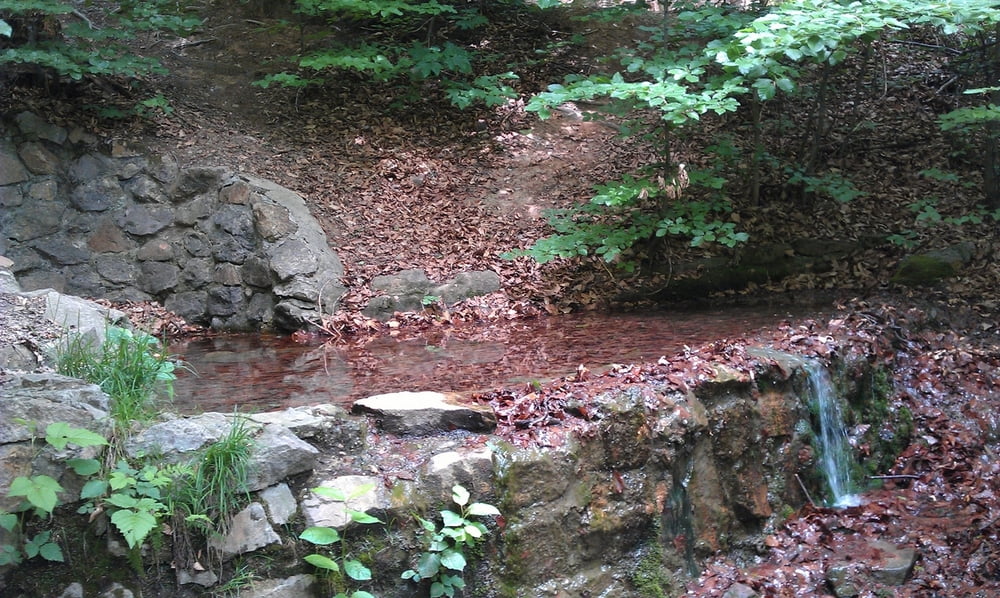
Die Tour beginnt am Philosophenweg mit seinen schönen Aussichten auf die Stadt Heidelberg und den Neckar, vorbei an interessanten Bachläufen und Quellen. Später gelangt man auf den Heiligenberg mit Klosterruine und Thingstätte. Unterhalb der Thingstätte befindet sich ein Wanderlokal mit guter lokaler Küche.
ACHTUNG: Der aufgezeichnete Weg ist zum Teil recht schmal, uneben und steil und ist daher nicht kinderwagen-tauglich oder behindertengerecht. Es gibt aber genügend altenative leicht begehbare parallel verlaufende Wege.
Galerija izletov
Zemljevid in višinski profil izleta
Minimum height 144 m
Maximum height 489 m
More about the tour author
|
|
kaidietze |
Komentarji

Parkplatz an der Thingstätte oder Parkmöglichkeit am nördlichen Neckarufer.
Poti GPS
Trackpoints-
GPX / Garmin Map Source (gpx) download
-
TCX / Garmin Training Center® (tcx) download
-
CRS / Garmin Training Center® (crs) download
-
Google Earth (kml) download
-
G7ToWin (g7t) download
-
TTQV (trk) download
-
Overlay (ovl) download
-
Fugawi (txt) download
-
Kompass (DAV) Track (tk) download
-
List z izleti (pdf) download
-
Original file of the author (gpx) download
More about the tour author
|
|
kaidietze |
Add to my favorites
Remove from my favorites
Edit tags
Open track
My score
Rate