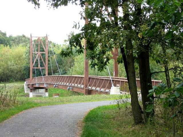
Von Briesen über die Kersdorfer Schleuse nach Fürstenwalde. Auf dem Spreeradweg bis nach Neu Zittau. Über Gosen, Müggelheim, Köpenick nach Karlshorst.
Meist gute ausgebaute Radwege. Schlechteste Stück ist zwischen Autobahnanschluss Briesen Richtung Kersdorfer Schleuse ca. 2km Sommerweg.
Meist gute ausgebaute Radwege. Schlechteste Stück ist zwischen Autobahnanschluss Briesen Richtung Kersdorfer Schleuse ca. 2km Sommerweg.
Further information at
http://www.spreeradweg.de/Galerija izletov
Zemljevid in višinski profil izleta
Minimum height 17 m
Maximum height 45 m
Komentarji

Regionalbahn 1 bis Briesen
Poti GPS
Trackpoints-
GPX / Garmin Map Source (gpx) download
-
TCX / Garmin Training Center® (tcx) download
-
CRS / Garmin Training Center® (crs) download
-
Google Earth (kml) download
-
G7ToWin (g7t) download
-
TTQV (trk) download
-
Overlay (ovl) download
-
Fugawi (txt) download
-
Kompass (DAV) Track (tk) download
-
List z izleti (pdf) download
-
Original file of the author (gpx) download
Add to my favorites
Remove from my favorites
Edit tags
Open track
My score
Rate


