

Notwendige Änderungen in der Streckenführung - wird in zeitnah aktualisiert!
Start und Ziel: "Zum Musikalischen Wirt" - Parkplatz und gutes Essen vorhanden.
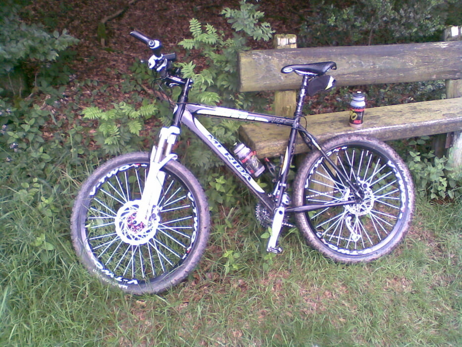
Eine Strecke nach der Arbeit "klein aber fein"
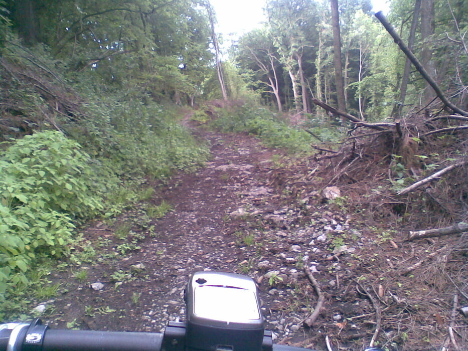
DIe Strecke ist nur "links herum" zu befahren - sonst tragen!
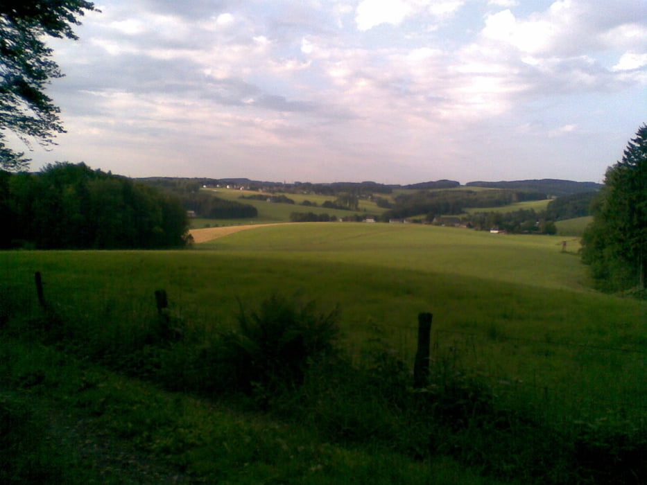
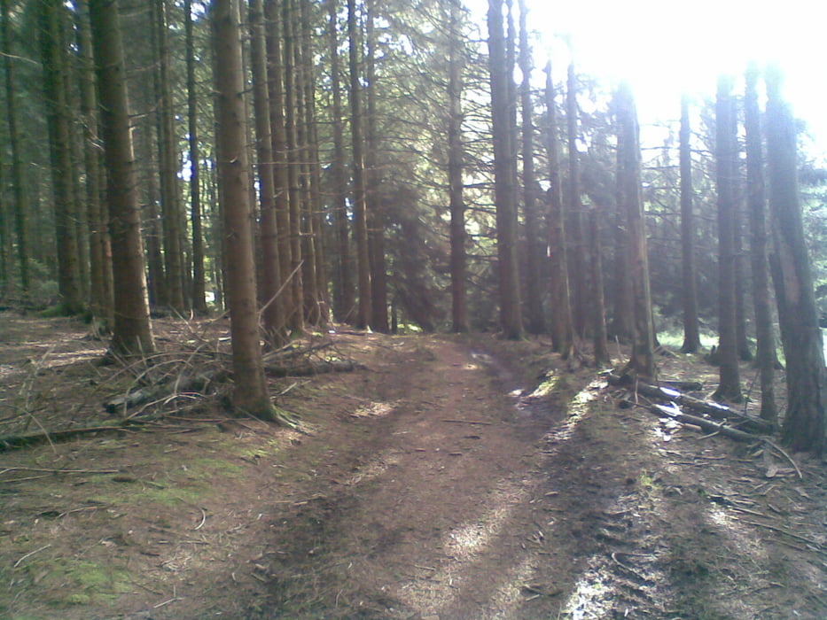
Die Strecke ist nach GPS-Garmin ca. 18km lang und hat ca. 480 Höhenmeter bei einer maximalen Steigung von 18% (durchschnittlich 5%) Die reine Fahrzeit beträgt je nach Kondition zwischen 1h20min und 2 Stunden. Die Strecke besteht aus Feld- und Waldwegen, kurze Straßenabschnitte, sowie "quer durch den Busch" und ist trotzdem bei jedem Wetter befahrbar. Landschaftlich super und es kommt keine Langeweile auf - Viel Spaß!
Further information at
http://www.hotel-tix.de/anfahrt.htmlGalerija izletov
Zemljevid in višinski profil izleta
Minimum height 191 m
Maximum height 316 m
More about the tour author

|
JOBOGPS |
Komentarji

Start und Ziel:
Zum Musikalischen Wirt
Sülztalstraße 45, 51789 Lindlar-Hartegasse
Tel.: +49 2266/83307
http://www.hotel-tix.de
Poti GPS
Trackpoints-
GPX / Garmin Map Source (gpx) download
-
TCX / Garmin Training Center® (tcx) download
-
CRS / Garmin Training Center® (crs) download
-
Google Earth (kml) download
-
G7ToWin (g7t) download
-
TTQV (trk) download
-
Overlay (ovl) download
-
Fugawi (txt) download
-
Kompass (DAV) Track (tk) download
-
List z izleti (pdf) download
-
Original file of the author (gpx) download
More about the tour author
|
|
JOBOGPS |
Add to my favorites
Remove from my favorites
Edit tags
Open track
My score
Rate