Login

Si pozabil/a podatke za prijavo?

Cookies have to be accepted!
Your browser's cookie functionality is disabled. Please enable this functionality.

Not a member yet?

Register now
Login

Available for registred users only

Log in to use this feature.

Si pozabil/a podatke za prijavo?

Cookies have to be accepted!
Your browser's cookie functionality is disabled. Please enable this functionality.

Not a member yet?

Register now
Filter
Kategorije
Advanced filters
  • Dolžina (km)
  • Metri nadmorske višine
Shrani filter Reset filter

TrackRank

QRCode

Technical data

Dolžina81,0 km Metri nadmorske višine2684 m Way down2606 m Trajanje2 days 0 h Datum04.07.2012
Ocene Author Pokrajina Dejavnik zabave Kondicija Tehnika

Statistika

359 Pogledi Ocene 36 Prenosi Povprečje
Rate
  • List z izleti
  • Prihod
  • Prenosi

 Pohorje crossing from east to west.

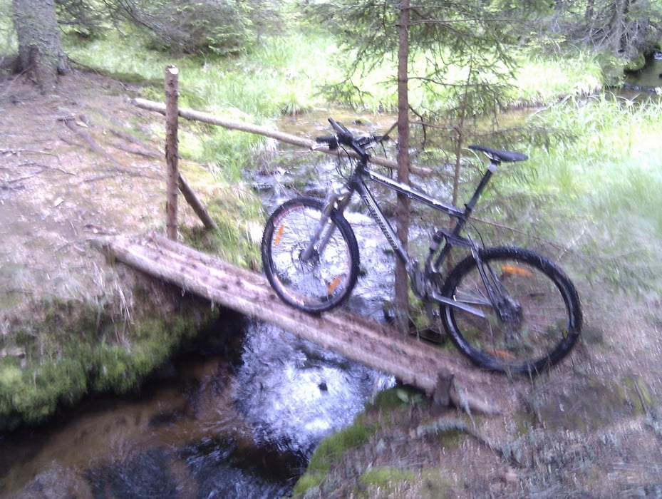
Start near Maribor in Zg. Polskava, steady moderate ascent  to Areha (skiing area, mountain hut), partly asphalt, partly gravel. On the Areh real joy begin. Track follows different surfaces - from footpaths to small gravel roads, Difficulties varies from simple to very demanding.

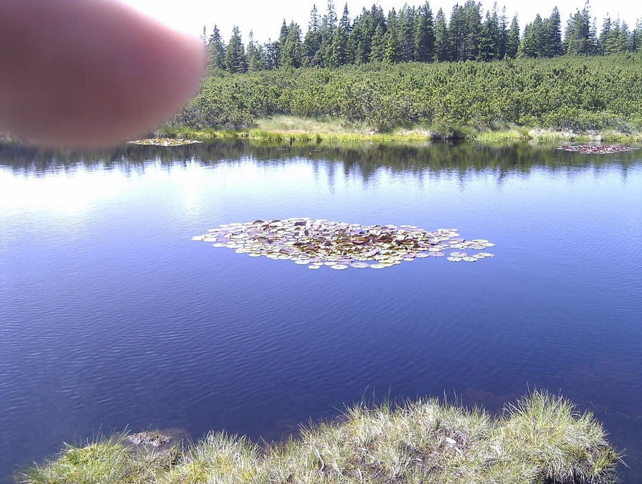
Pohorje mountain range is covered with vast forests, water springs and wetlands (mostly on a see level 1000-1500m) - extremely pleasant to cycle in summer heat.

Track passes three ski areas (Areh, Rogla, Kope) and many monutain huts, where you can sleep.

Complete crossing could be possible in 1 day (just for sport) or 3-4 days (leasure pace).


Galerija izletov

Zemljevid in višinski profil izleta

  • Open Street Map
  • Google
Minimum height 298 m Maximum height 1547 m Prikaz podrobnosti

More about the tour author

senior
Member since 2008

Send private message

Komentarji

Zgornja Polskava is close to Maribor. It is possible to catch a train from final city of Dravograd to Maribor.

Poti GPS

Trackpoints
  • GPX / Garmin Map Source (gpx) download
  • TCX / Garmin Training Center® (tcx) download
  • CRS / Garmin Training Center® (crs) download
  • Google Earth (kml) download
  • G7ToWin (g7t) download
  • TTQV (trk) download
  • Overlay (ovl) download
  • Fugawi (txt) download
  • Kompass (DAV) Track (tk) download
  • List z izleti (pdf) download
  • Original file of the author (gpx) download

More about the tour author

senior
Member since 2008

Send private message
Share track
Add to my favorites
Remove from my favorites
Edit tags
My score
Rate
Izlet: TransPohorje
Vrsta: Gorsko kolo
Dolžina: 81,0 km
Evaluated on:
Trajanje:
Day(s)
Hour(s)
Minute(s)
Ocena: Pokrajina Dejavnik zabave Kondicija Tehnika