


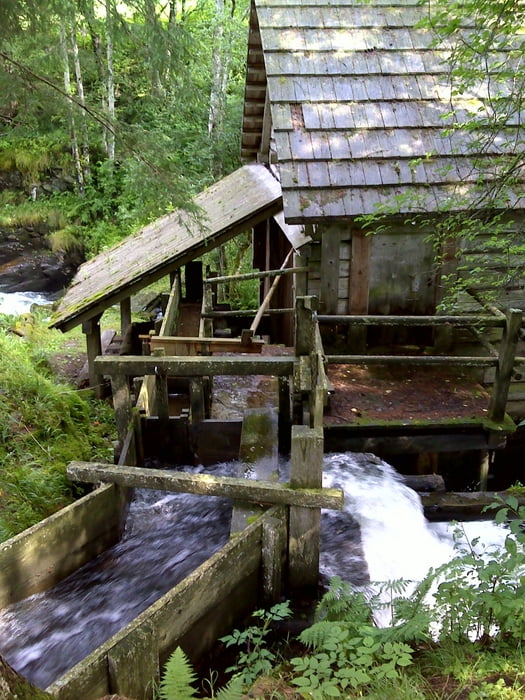
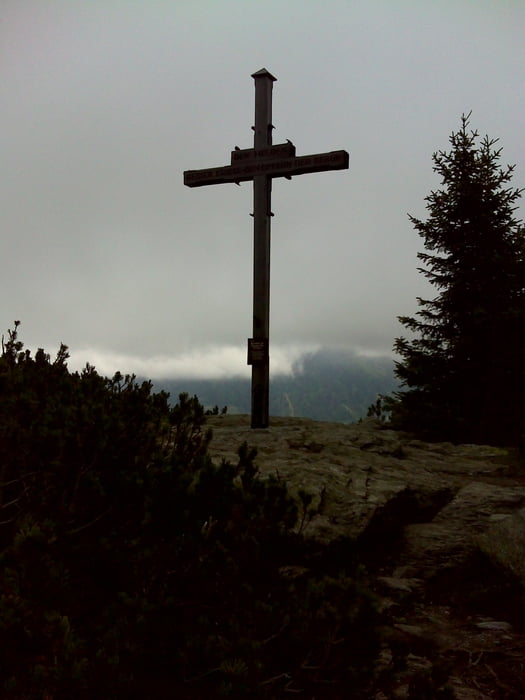
Wir Starten an der Brauerei in Schladming. Entlang des tosenden Talbachs geht es nach Rohrmoos-Untertal wo sich Untertalbach und Obertalbach zum Talbach vereinen. Wir folgen dem Untertalbach bis zum Gasthaus Tretter. "Von nun an ging's bergauf" Steil bergauf folgen wir der Markierung 54 über die Krahberghütten zum Planairundweg. Wir kreuzen den Rundweg und gehen weiter in richtung Gipfel. Wir haben es geschafft! Nun geht es runter zur Bergstation der Planai-Seilbahn. Nach einer Stärkung in der Schladminger Hütte nehmen wir die Seilbahn zurück nach Schladming. Die Talfahrt ist mit der Sommercard gratis!
Further information at
http://www.planai.atGalerija izletov


Zemljevid in višinski profil izleta
Minimum height 746 m
Maximum height 1908 m
More about the tour author

|
vollgashias |
Komentarji

Poti GPS
Trackpoints-
GPX / Garmin Map Source (gpx) download
-
TCX / Garmin Training Center® (tcx) download
-
CRS / Garmin Training Center® (crs) download
-
Google Earth (kml) download
-
G7ToWin (g7t) download
-
TTQV (trk) download
-
Overlay (ovl) download
-
Fugawi (txt) download
-
Kompass (DAV) Track (tk) download
-
List z izleti (pdf) download
-
Original file of the author (gpx) download
More about the tour author
|
|
vollgashias |
Add to my favorites
Remove from my favorites
Edit tags
Open track
My score
Rate