Login

Si pozabil/a podatke za prijavo?

Cookies have to be accepted!
Your browser's cookie functionality is disabled. Please enable this functionality.

Not a member yet?

Register now
Login

Available for registred users only

Log in to use this feature.

Si pozabil/a podatke za prijavo?

Cookies have to be accepted!
Your browser's cookie functionality is disabled. Please enable this functionality.

Not a member yet?

Register now
Filter
Kategorije
Advanced filters
  • Dolžina (km)
  • Metri nadmorske višine
Shrani filter Reset filter

TrackRank

QRCode

Technical data

Dolžina34,2 km Metri nadmorske višine702 m Way down707 m Trajanje02:25 h:m Datum24.07.2012
Ocene Author User Pokrajina Dejavnik zabave Kondicija Tehnika

Statistika

244 Pogledi 1 Ocena 11 Prenosi 3.00 Povprečje
Rate
  • List z izleti
  • Prihod
  • Prenosi
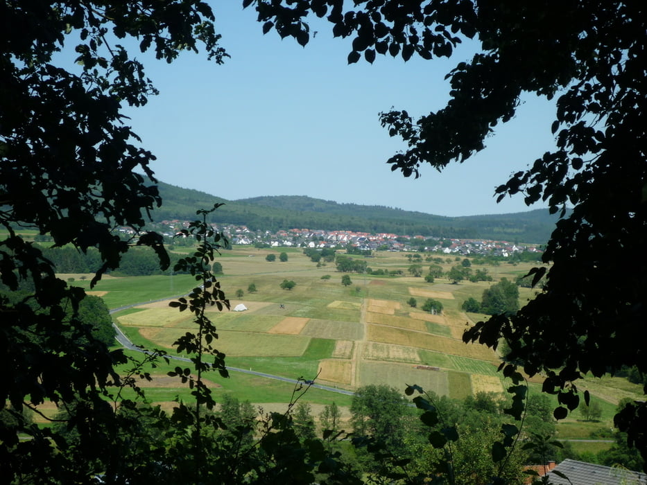
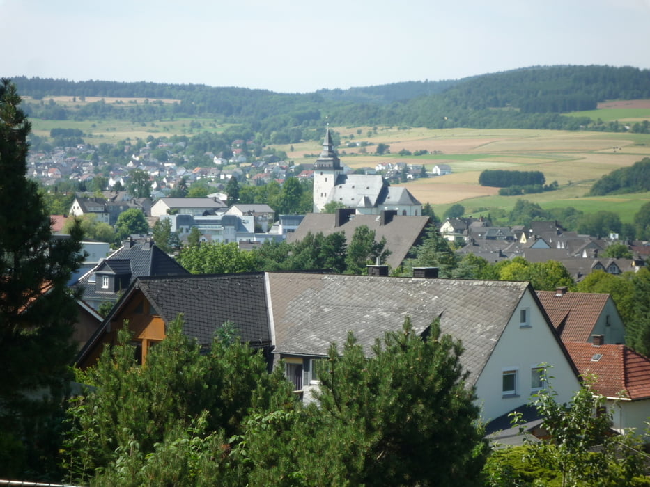
Die Tour führt von Oberroßbach hoch zur Auerhahnhütte,weiter geht es durch die Struth bis nach Sechshelden.Nun fahren wir über die neue Dillbrücke links hoch unter der Autobahn hindurch und hoch zum Kornberg.Von hier hat man eine schöne Sicht nach allen Richtungen.Die Tour führt nun weiter nach Haiger zum Eis essen und wieder zurück ins Roßbachtal.

Galerija izletov

Zemljevid in višinski profil izleta

  • Open Street Map
  • Google
Minimum height 229 m Maximum height 513 m Prikaz podrobnosti

More about the tour author

baumgarten
Member since 2010

Send private message

Komentarji

Poti GPS

Trackpoints
  • GPX / Garmin Map Source (gpx) download
  • TCX / Garmin Training Center® (tcx) download
  • CRS / Garmin Training Center® (crs) download
  • Google Earth (kml) download
  • G7ToWin (g7t) download
  • TTQV (trk) download
  • Overlay (ovl) download
  • Fugawi (txt) download
  • Kompass (DAV) Track (tk) download
  • List z izleti (pdf) download
  • Original file of the author (gpx) download

More about the tour author

baumgarten
Member since 2010

Send private message
Share track
Add to my favorites
Remove from my favorites
Edit tags
My score
Rate
Izlet: Roßbachtal-Auerhahnhütte-Kornberg
Vrsta: Gorsko kolo
Dolžina: 34,2 km
Evaluated on:
Trajanje:
Day(s)
Hour(s)
Minute(s)
Ocena: Pokrajina Dejavnik zabave Kondicija Tehnika