Login

Si pozabil/a podatke za prijavo?

Cookies have to be accepted!
Your browser's cookie functionality is disabled. Please enable this functionality.

Not a member yet?

Register now
Login

Available for registred users only

Log in to use this feature.

Si pozabil/a podatke za prijavo?

Cookies have to be accepted!
Your browser's cookie functionality is disabled. Please enable this functionality.

Not a member yet?

Register now
Filter
Kategorije
Advanced filters
  • Dolžina (km)
  • Metri nadmorske višine
Shrani filter Reset filter

TrackRank

QRCode

Technical data

Dolžina51,0 km Metri nadmorske višine2322 m Way down2351 m Trajanje06:23 h:m Datum29.07.2012
Ocene Author Pokrajina Dejavnik zabave Kondicija Tehnika

Statistika

489 Pogledi Ocene 79 Prenosi Povprečje
Rate
  • List z izleti
  • Prihod
  • Prenosi

Mühlbach-Tiergartenalm-Sunnhüttl-Wastlhöhe-Bürglalm-
Übergossene Alm-Dienten-Reicheralm-Lettenalm-Geralm-
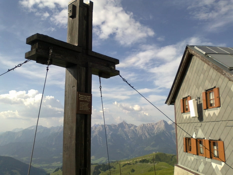
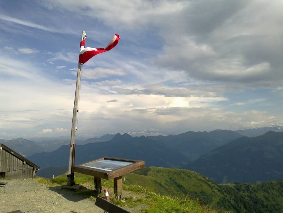
Hundstein (Statzerhaus)-Thumersbach

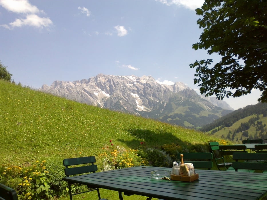
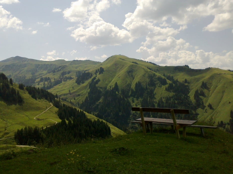
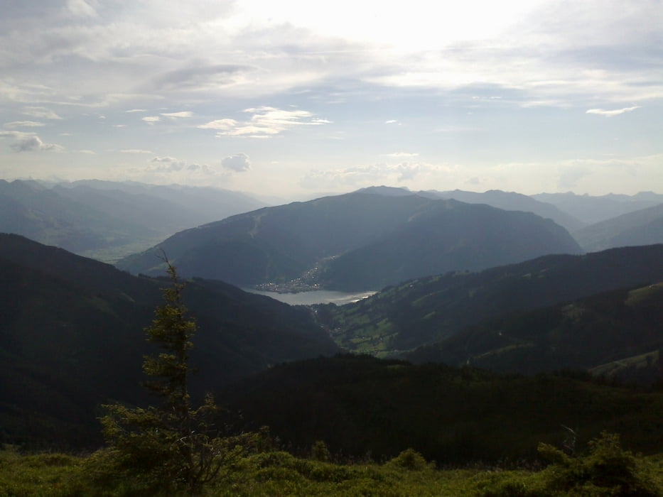
Lässige Anstiege, coole Singletrails! Großartige Almenlandschaft! Einziger Wermutstropfen:
Schiebung auf den Hundstein. Da war ich schon zu fertig. Die Abfahrt vom Hundstein sensationell großteils fahrbarer Singletrail! Mit Kuhstau. Viehbegegnungen: Miniponys, Pferde, Schafe, viele Kühe, Hunde.


Galerija izletov

Zemljevid in višinski profil izleta

  • Open Street Map
  • Google
Minimum height 803 m Maximum height 2113 m Prikaz podrobnosti

More about the tour author

mitter
Member since 2008

Send private message

Komentarji

Start in Mühlbach.

Poti GPS

Trackpoints
  • GPX / Garmin Map Source (gpx) download
  • TCX / Garmin Training Center® (tcx) download
  • CRS / Garmin Training Center® (crs) download
  • Google Earth (kml) download
  • G7ToWin (g7t) download
  • TTQV (trk) download
  • Overlay (ovl) download
  • Fugawi (txt) download
  • Kompass (DAV) Track (tk) download
  • List z izleti (pdf) download
  • Original file of the author (gpx) download

More about the tour author

mitter
Member since 2008

Send private message
Share track
Add to my favorites
Remove from my favorites
Edit tags
My score
Rate
Izlet: Wastlhöhe-Hundstein
Vrsta: Gorsko kolo
Dolžina: 51,0 km
Evaluated on:
Trajanje:
Day(s)
Hour(s)
Minute(s)
Ocena: Pokrajina Dejavnik zabave Kondicija Tehnika