


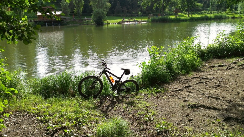
wieder mal ne kleine Feierabendrunde...da es ein Zeitproblem gab habe ich eine schnelle Anfahrt von Heilbronn über Schweinsbergturm - Reisbergbrücke-Lehrensteinsfeld-Willsbach- nach Eschenau gewählt...dort über den "Ameisentrail" (vorsicht durch Bundesgesetz geschützte Waldameisen!!!) nach Neuhütten-Trail am Finsterroter See-Wüstenrot-Stangenbach-über "Langes Eck" (welcher Irre fährt da eigentlich hoch ?) nach Stocksberg-Trail zum Bleichsee-über HW8 zurück zur Reisbergbrücke-die "Jumpautobahn" (geile Jumps habt ihr da gebaut Jungs ;-) ) Richtung Waldheide vor....Trail runter zum Köpferbrunnen-vor zum Trappensee und gemütlich nach Hause rollen oder noch bissl was für den Schnitt tun...wie es genehm ist ^^ und das alles ohne Fangopackung ....auch mal schön ;-)
Galerija izletov
Zemljevid in višinski profil izleta
Minimum height 163 m
Maximum height 540 m
More about the tour author
|
|
hnx67 |
Komentarji

Poti GPS
Trackpoints-
GPX / Garmin Map Source (gpx) download
-
TCX / Garmin Training Center® (tcx) download
-
CRS / Garmin Training Center® (crs) download
-
Google Earth (kml) download
-
G7ToWin (g7t) download
-
TTQV (trk) download
-
Overlay (ovl) download
-
Fugawi (txt) download
-
Kompass (DAV) Track (tk) download
-
List z izleti (pdf) download
-
Original file of the author (gpx) download
More about the tour author
|
|
hnx67 |
Add to my favorites
Remove from my favorites
Edit tags
Open track
My score
Rate