


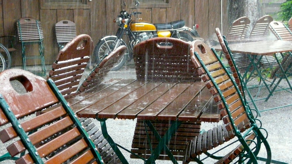
Eine Trekking-Tour, die es wettermäßig in sich hatte - am Abend waren wir glücklich und geschafft. Hier nur grob die wichtigsten Stationen.
1. Abfahrt in Bad Wiessee Richtung Rottach-Egern
2. Am Sportplatz vorbei nach Rottach-Egern an die Maut-Straße
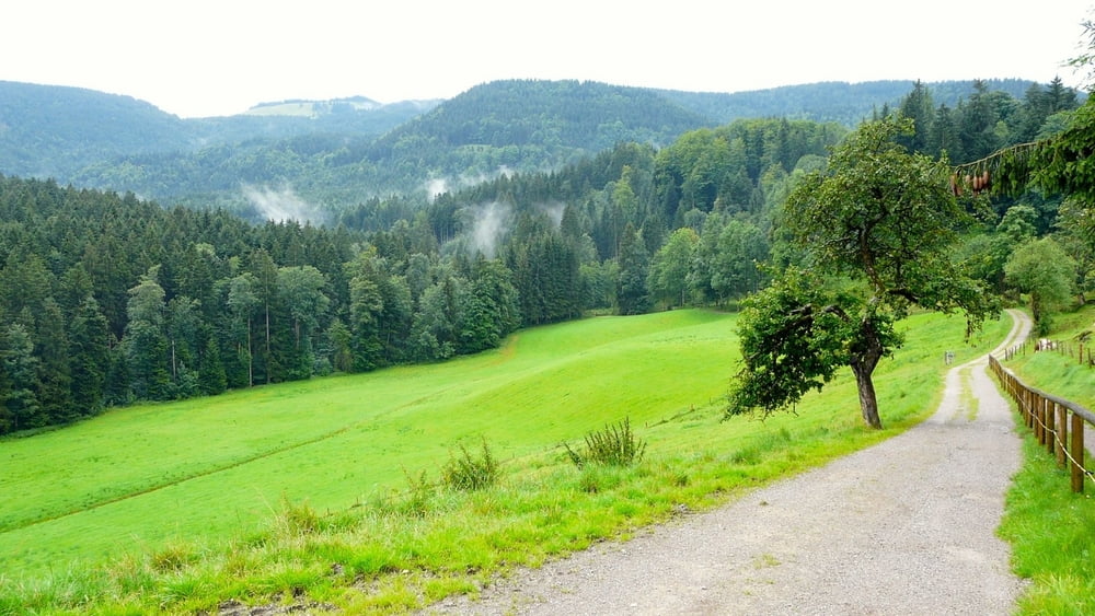
3. Vorbei an der Moni-Alm immer Richtung Valepp
4. Kurz vor Valepp links hoch zum Spitzing-See (ca. 1100 m üNN)
5. Die Straße runter und dann zum Schliersee
6. Rückfahrt über Hausham - Gmund. Leider fiel dort das GPS-Gerät aus, so dass die Route von Hausham nach Gmund fehlt. Wir fuhren durch den Wald zurück nach Gmund auf einem Teil des Radweges Bodensee-Königsee.
7. Nach Bad Wiessee sind es dann etwa noch 4 km auf Radwegen - zum kleinen Teil auch entlang der Hauptstraße.
Further information at
http://de.wikipedia.org/wiki/SpitzingseeGalerija izletov


Zemljevid in višinski profil izleta
Minimum height 728 m
Maximum height 1123 m
More about the tour author

|
wosob |
Komentarji

Anfahrt über die A8 Richtung München-Salzburg Ausfahrt 97 - Tegernsee/Bad Wiessee/Bad Tölz - danach einen Parkplatz bei Bad Wiessee ansteuern und die Tour beginnen.
Poti GPS
Trackpoints-
GPX / Garmin Map Source (gpx) download
-
TCX / Garmin Training Center® (tcx) download
-
CRS / Garmin Training Center® (crs) download
-
Google Earth (kml) download
-
G7ToWin (g7t) download
-
TTQV (trk) download
-
Overlay (ovl) download
-
Fugawi (txt) download
-
Kompass (DAV) Track (tk) download
-
List z izleti (pdf) download
-
Original file of the author (gpx) download
More about the tour author
|
|
wosob |
Add to my favorites
Remove from my favorites
Edit tags
Open track
My score
Rate