


Eine flache Runde zum Feierabend.
Am Teltowkanal nach Teltow.
Über Ruhlsdorf nach Neubeeren. Zwischen Ruhlsdorf und Neubeeren kann ein guter Radweg benutzt werden.
Am Bahnhof Neubeeren die kleinen Wege benutzen und dann die Märkische Allee nach Norden.
Über die Brücke und danach wieder nach Süden nach Grossbeeren. Danach die Berliner Straße nach Norden und an der L76 auf dem Radweg nach Osten wegbrechen.
Über eine schöne Brücke und danach auf rumpeliger Strecke nach Norden.
Wieder nach rechts um dann in Birkholz nach Norden bis zum Mauerweg.
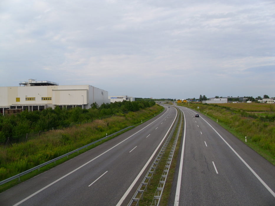
Zum Abschluß auf an der B101 zum Ausgangspunkt zurück.
Further information at
https://de.wikipedia.org/wiki/Landkreis_Teltow-Fl%C3%A4mingGalerija izletov

Zemljevid in višinski profil izleta
Minimum height 45 m
Maximum height 85 m
More about the tour author
|
|
Pheinz |
Komentarji

Einstieg an beliebiger Stelle
Poti GPS
Trackpoints-
GPX / Garmin Map Source (gpx) download
-
TCX / Garmin Training Center® (tcx) download
-
CRS / Garmin Training Center® (crs) download
-
Google Earth (kml) download
-
G7ToWin (g7t) download
-
TTQV (trk) download
-
Overlay (ovl) download
-
Fugawi (txt) download
-
Kompass (DAV) Track (tk) download
-
List z izleti (pdf) download
-
Original file of the author (gpx) download
More about the tour author
|
|
Pheinz |
Add to my favorites
Remove from my favorites
Edit tags
Open track
My score
Rate