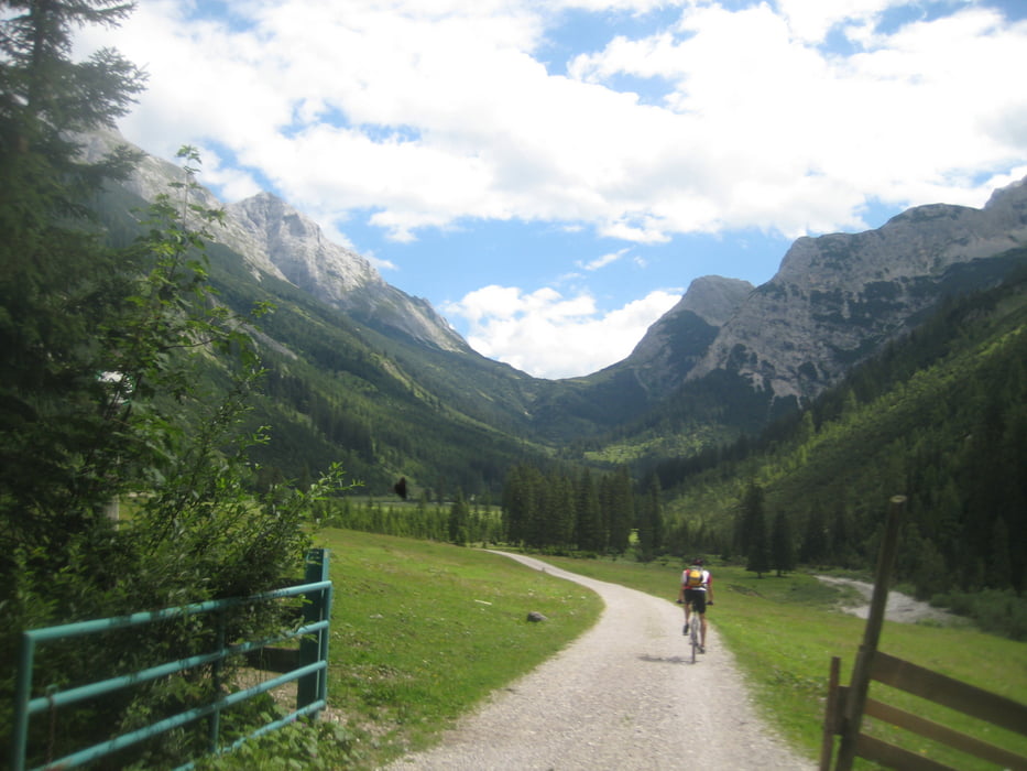
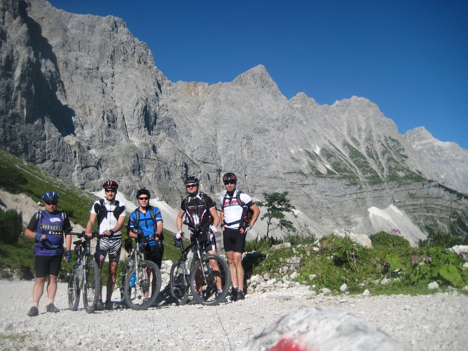
Los gings in Eschenlohe am 31.07.12 um 7.30 mit dabei waren diesmal wieder Brandy, Markus, Michi, Stefan und Martin.
1 Tag: 68 KM, 2.000 HM in 6 1/4 Stunden.
Über das schöne Eschenlainetal sind wir über Wallgau, Krün, Mittenwald und dann nach Scharnitz gekommen. Ab Scharnitz sind es bis zum Karwendelhaus ca. 800 HM, erst kurz vor der Karwendelhaus geht es dann schön gepflegt bergauf. Danach sind wir ca. 500 HM runter, um die gleiche Zahl an HM wieder zur Falkenhütte auf zu fahren.
2. Tag: 75 KM, 650 HM in 4 1/2 Stunden.
Über das Laliderertal sind wir auf die Strasse zur Eng gefahren, eine echt schöne Abfahrt !!
Bis nach Vorderriss gehts dann auf der teilweise viel befahrene Strasse immer leicht bergab.
Kurz vor dem Sylvensteinspeicher kann man die Isar überqueren. Kurz darauf gibt es eine nicht so schöne Schiebe/Tragepassage von ca. 30 Min. (gefühlt über 1 Std.).
Am Walchensee konnten wir uns dann schön abkühlen. Nach 1 kg. Spaghetti und 1 kg. Kaiserschmarrn gings dann nochmal ca. 1 Std. über das Eschenlainetal zurück nach Eschenlohe.
An dieser Stellen vielen Dank an unseren Fahrer Stefan mit seinem tollen neuen Vereinsbus VW Multivan mit viel Beinfreiheit auch für lange Kerle !!!!
Further information at
http://www.davplus.de/falkenhuetteGalerija izletov
Zemljevid in višinski profil izleta
Komentarji

Poti GPS
Trackpoints-
GPX / Garmin Map Source (gpx) download
-
TCX / Garmin Training Center® (tcx) download
-
CRS / Garmin Training Center® (crs) download
-
Google Earth (kml) download
-
G7ToWin (g7t) download
-
TTQV (trk) download
-
Overlay (ovl) download
-
Fugawi (txt) download
-
Kompass (DAV) Track (tk) download
-
List z izleti (pdf) download
-
Original file of the author (gpx) download


