


Die Route führt von Aschach an der Donau weg Richtung Kellnering, weiter über Öd in Bergen nach Haibach, wo man kurz vorm Ort über den Donauleitenwanderweg zur Donau runter
fährt, wo es wieder retour geht nach Aschach.
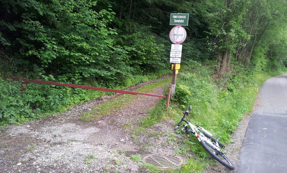
Bis auf eine Ausnahme sind alle Aufstiege asphaltiert, der Abstieg ist geschottert (Forststraße),
retour fährt man entlang des Donauradweges.
Die Tour ist schnell zu schaffen und eignet sich besonders für eine schnelle Runde nach der Arbeit. Außerdem kommt die Tour ohne (für den Fahrer ersichtliche) Fahrverbote aus.
Viel Spaß!
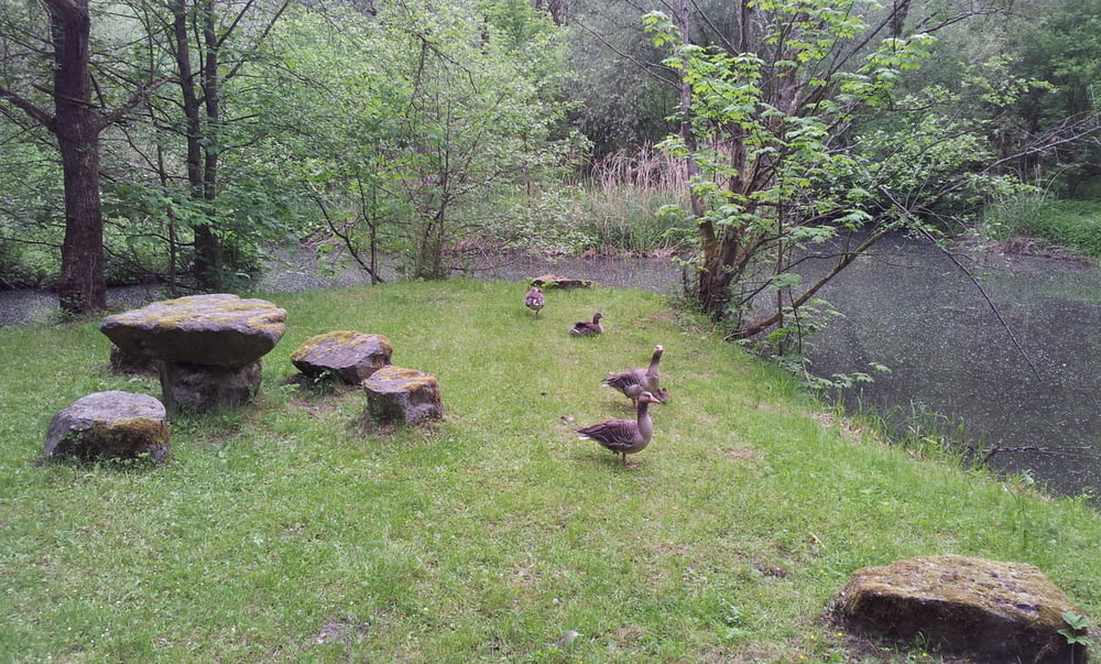
Galerija izletov

Zemljevid in višinski profil izleta
Minimum height 276 m
Maximum height 525 m
More about the tour author

|
gusenbauer |
Komentarji

Start der Route ist in Aschach an der Donau, man kann natürlich überall einsteigen =)
Poti GPS
Trackpoints-
GPX / Garmin Map Source (gpx) download
-
TCX / Garmin Training Center® (tcx) download
-
CRS / Garmin Training Center® (crs) download
-
Google Earth (kml) download
-
G7ToWin (g7t) download
-
TTQV (trk) download
-
Overlay (ovl) download
-
Fugawi (txt) download
-
Kompass (DAV) Track (tk) download
-
List z izleti (pdf) download
-
Original file of the author (gpx) download
More about the tour author
|
|
gusenbauer |
Add to my favorites
Remove from my favorites
Edit tags
Open track
My score
Rate