Login

Si pozabil/a podatke za prijavo?

Cookies have to be accepted!
Your browser's cookie functionality is disabled. Please enable this functionality.

Not a member yet?

Register now
Login

Available for registred users only

Log in to use this feature.

Si pozabil/a podatke za prijavo?

Cookies have to be accepted!
Your browser's cookie functionality is disabled. Please enable this functionality.

Not a member yet?

Register now
Filter
Kategorije
Advanced filters
  • Dolžina (km)
  • Metri nadmorske višine
Shrani filter Reset filter

TrackRank

QRCode

Technical data

Dolžina9,1 km Metri nadmorske višine90 m Way down89 m Trajanje00:00 h:m Datum13.08.2012
Ocene Author Pokrajina Dejavnik zabave Kondicija Tehnika

Statistika

417 Pogledi Ocene 66 Prenosi Povprečje
Rate
  • List z izleti
  • Prihod
  • Prenosi
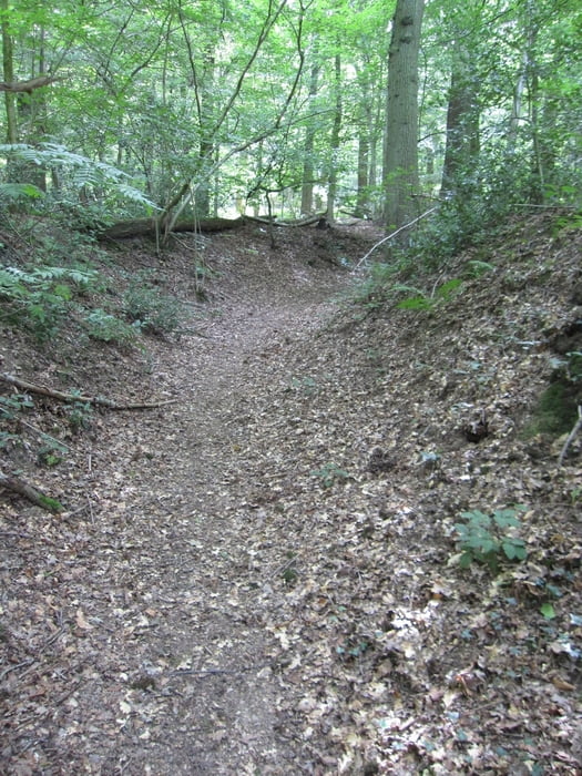
Der Weg führt über Wiesen zum Vijlenerbosch. Es ist ein Rundweg mit z.T. schmalen Pfaden. Nur kurze Strecken müssen auf Asphalt zurückgelegt werden.

Galerija izletov

Zemljevid in višinski profil izleta

  • Open Street Map
  • Google
Minimum height 177 m Maximum height 250 m Prikaz podrobnosti

More about the tour author

Radegundis
Member since 2009

Send private message

Komentarji

Von Aachen aus die B1 Richtung Maastricht, hinter Lemiers zweigt eine kleine Straße nach links Richtung Vijlen ab. In Vijlen findet man auf der Hauptstraße (Vijlenberg) oder auf der Seitenstraße (Pastoriweg) genügend Parkplätze

Poti GPS

Trackpoints
  • GPX / Garmin Map Source (gpx) download
  • TCX / Garmin Training Center® (tcx) download
  • CRS / Garmin Training Center® (crs) download
  • Google Earth (kml) download
  • G7ToWin (g7t) download
  • TTQV (trk) download
  • Overlay (ovl) download
  • Fugawi (txt) download
  • Kompass (DAV) Track (tk) download
  • List z izleti (pdf) download
  • Original file of the author (gpx) download

More about the tour author

Radegundis
Member since 2009

Send private message
Share track
Add to my favorites
Remove from my favorites
Edit tags
My score
Rate
Izlet: von Vijlen um den Elzetterbosch
Vrsta: Pešačenje
Dolžina: 9,1 km
Evaluated on:
Trajanje:
Day(s)
Hour(s)
Minute(s)
Ocena: Pokrajina Dejavnik zabave Kondicija Tehnika