


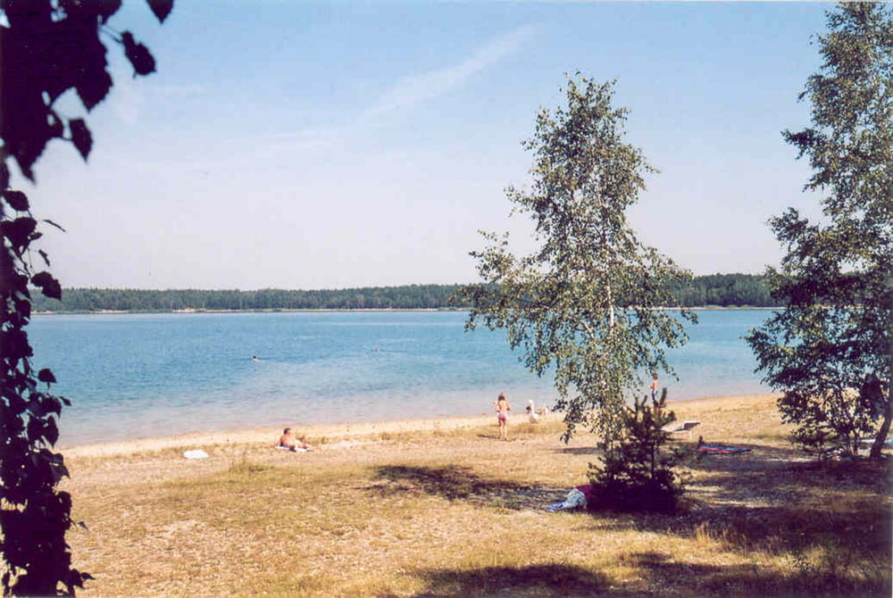
Meist asphaltierte Nebenstraßen, zum Teil wassergebundene Waldwege, um den Moritzsee teilweise naturbelassene Pfade. Strecke mit geringen Steigungen über die Dörfer. Bademöglichkeiten auch ohne Badesachen.
Routenverlauf:
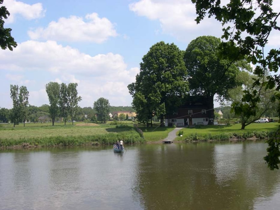
Ebersbach > Colditzer Wald > Sermuth > Kössern > Kleinbothen > Nimbschen > Grimma > Bahren > Trebsen > Neuweißenborn > Polenz > Ammelshain > Moritzsee > Grillensee> Naunhof > Parthenstein > Großsteinberg > Grethen > Großbuch > Bernbruch > Kleinbardau > Glasten > Ballendorf > Ebersbach
Beschreibung der beiden Varianten mit Fotos und Höhenprofilen in http://www.wolf-klepzig.de/hp/rad/Ebersbach-Muldental-Grimma-Naunhof-Ebersbach.pdf.
Zusätzliche Informationen an den Wegpunkten (Parken, Gastronomie, Badestellen, Besonderheiten).
Further information at
http://www.wolf-klepzig.de/hp/rad.htmGalerija izletov


Zemljevid in višinski profil izleta
Minimum height 116 m
Maximum height 230 m
More about the tour author

|
klegpst |
Komentarji

Anfahrt:
B95 von Frohburg auf K 7990 bis Ebersbach oder B7 von Königsfeld auf S49 bis Ebersbach
Zieleingabe für Routenplaner: Neuer Weg, 04651 Bad Lausick, Ortsteil Ebersbach oder die Koordinaten N51 06 03.1 E12 42 01.8, bei GoogleEarth und Google Maps ohne die Einheiten für Grad, Winkelminute und Winkelsekunde.
Parken: z. B. auf dem Neuen Weg in Ebersbach.
Poti GPS
Trackpoints-
GPX / Garmin Map Source (gpx) download
-
TCX / Garmin Training Center® (tcx) download
-
CRS / Garmin Training Center® (crs) download
-
Google Earth (kml) download
-
G7ToWin (g7t) download
-
TTQV (trk) download
-
Overlay (ovl) download
-
Fugawi (txt) download
-
Kompass (DAV) Track (tk) download
-
List z izleti (pdf) download
-
Original file of the author (gpx) download
More about the tour author
|
|
klegpst |
Add to my favorites
Remove from my favorites
Edit tags
Open track
My score
Rate