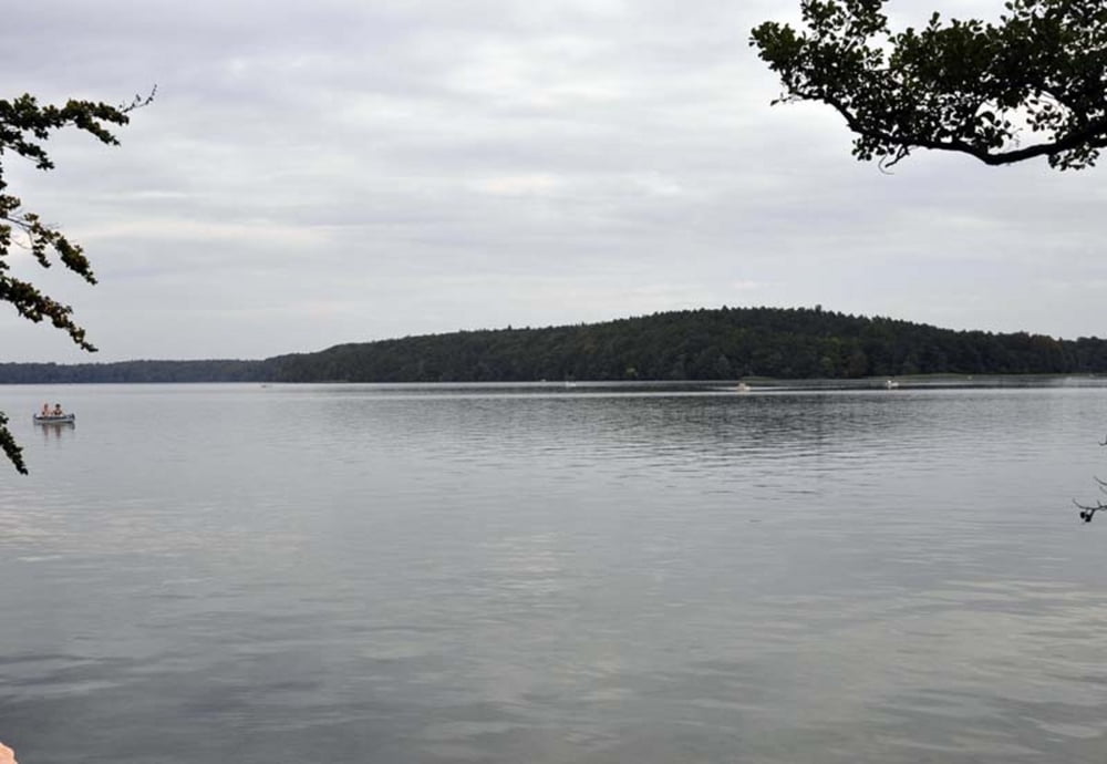
Ebene Strecke über Feld- und Waldwege sowie asphaltierte Nebenstraßen. Der Uferweg um den Großen Stechlinsee ist wegen vieler Wurzeln sehr holprig. Volle Umrundung des Großen Stechlinsees.
Routenverlauf:
Wustrow > Schleuse Strasen > Großer Boberowsee > Ostuferweg Großer Stechlinsee > Neuglobsow > Süduferweg Großer Stechlinsee > Halbinsel Ochsenkopfhölzchen > Norduferweg > Großer Boberowsee > Schleuse Strasen > Wustrow
Beschreibung der drei Trackvarianten in http://www.wolf-klepzig.de/hp/rad/Wustrow-GrStechlinsee-Wustrow.pdf.
Zusätzliche Informationen an den Wegpunkten (Gastronomie, Badestellen, Besonderheiten).
Further information at
http://www.wolf-klepzig.de/hp/rad.htmZemljevid in višinski profil izleta
Komentarji

Anfahrt zum Startpunkt Wustrow:
Von Süden B 122 Rheinsberg > Zechlinerhütte > Canow > Wustrow.
Von Norden B 198 bis Wesenberg > B122 bis Wustrow.
Zieleingabe für Routenplaner: Schulstraße 35, 17255 Wustrow oder die Koordinaten
N53 13 32.3 E12 58 13.5, bei GoogleEarth und Google Maps ohne die Einheiten für Grad, Winkelminute und Winkelsekunde.
Parken: Parken an der Schulstraße.
Poti GPS
Trackpoints-
GPX / Garmin Map Source (gpx) download
-
TCX / Garmin Training Center® (tcx) download
-
CRS / Garmin Training Center® (crs) download
-
Google Earth (kml) download
-
G7ToWin (g7t) download
-
TTQV (trk) download
-
Overlay (ovl) download
-
Fugawi (txt) download
-
Kompass (DAV) Track (tk) download
-
List z izleti (pdf) download
-
Original file of the author (gpx) download


