Login

Si pozabil/a podatke za prijavo?

Cookies have to be accepted!
Your browser's cookie functionality is disabled. Please enable this functionality.

Not a member yet?

Register now
Login

Available for registred users only

Log in to use this feature.

Si pozabil/a podatke za prijavo?

Cookies have to be accepted!
Your browser's cookie functionality is disabled. Please enable this functionality.

Not a member yet?

Register now
Filter
Kategorije
Advanced filters
  • Dolžina (km)
  • Metri nadmorske višine
Shrani filter Reset filter

TrackRank

QRCode

Technical data

Dolžina47,2 km Metri nadmorske višine914 m Way down886 m Trajanje03:15 h:m Datum23.08.2012
Ocene Author Pokrajina Dejavnik zabave Kondicija Tehnika

Statistika

168 Pogledi Ocene 8 Prenosi Povprečje
Rate
  • List z izleti
  • Prihod
  • Prenosi
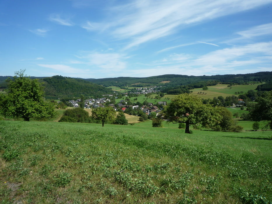
Noch eine Tour zum Lahnhof. Vom Roßbachtal aus fahren wir nach Dillbrecht und hoch auf den Rothaarsteig,dem folgen wir über die Tiefenrotherhöhe bis zum Zubringer der uns nach Irmgarteichen bringt.Von hier fahren wir bis nach Helgersdorf und weiter nach Werthenbach.Nun geht es hoch zum Lahnhof . Zurück fahren wir über Rittershausen und Weidelbach ins Roßbachtal.

Galerija izletov

Zemljevid in višinski profil izleta

  • Open Street Map
  • Google
Minimum height 296 m Maximum height 627 m Prikaz podrobnosti

More about the tour author

baumgarten
Member since 2010

Send private message

Komentarji

Poti GPS

Trackpoints
  • GPX / Garmin Map Source (gpx) download
  • TCX / Garmin Training Center® (tcx) download
  • CRS / Garmin Training Center® (crs) download
  • Google Earth (kml) download
  • G7ToWin (g7t) download
  • TTQV (trk) download
  • Overlay (ovl) download
  • Fugawi (txt) download
  • Kompass (DAV) Track (tk) download
  • List z izleti (pdf) download
  • Original file of the author (gpx) download

More about the tour author

baumgarten
Member since 2010

Send private message
Share track
Add to my favorites
Remove from my favorites
Edit tags
My score
Rate
Izlet: Roßbachtal-Werthenbach-Lahnhof
Vrsta: Gorsko kolo
Dolžina: 47,2 km
Evaluated on:
Trajanje:
Day(s)
Hour(s)
Minute(s)
Ocena: Pokrajina Dejavnik zabave Kondicija Tehnika