Login

Si pozabil/a podatke za prijavo?

Cookies have to be accepted!
Your browser's cookie functionality is disabled. Please enable this functionality.

Not a member yet?

Register now
Login

Available for registred users only

Log in to use this feature.

Si pozabil/a podatke za prijavo?

Cookies have to be accepted!
Your browser's cookie functionality is disabled. Please enable this functionality.

Not a member yet?

Register now
Filter
Kategorije
Advanced filters
  • Dolžina (km)
  • Metri nadmorske višine
Shrani filter Reset filter

TrackRank

QRCode

Technical data

Dolžina8,0 km Metri nadmorske višine309 m Way down309 m Trajanje03:30 h:m Datum24.08.2012
Ocene Author Pokrajina Dejavnik zabave Kondicija Tehnika

Statistika

958 Pogledi Ocene 77 Prenosi Povprečje
Rate
  • List z izleti
  • Prihod
  • Prenosi
http://randonnee.cevenole.free.fr/index.php5?modele=Moureze&vue=topo

Further information at

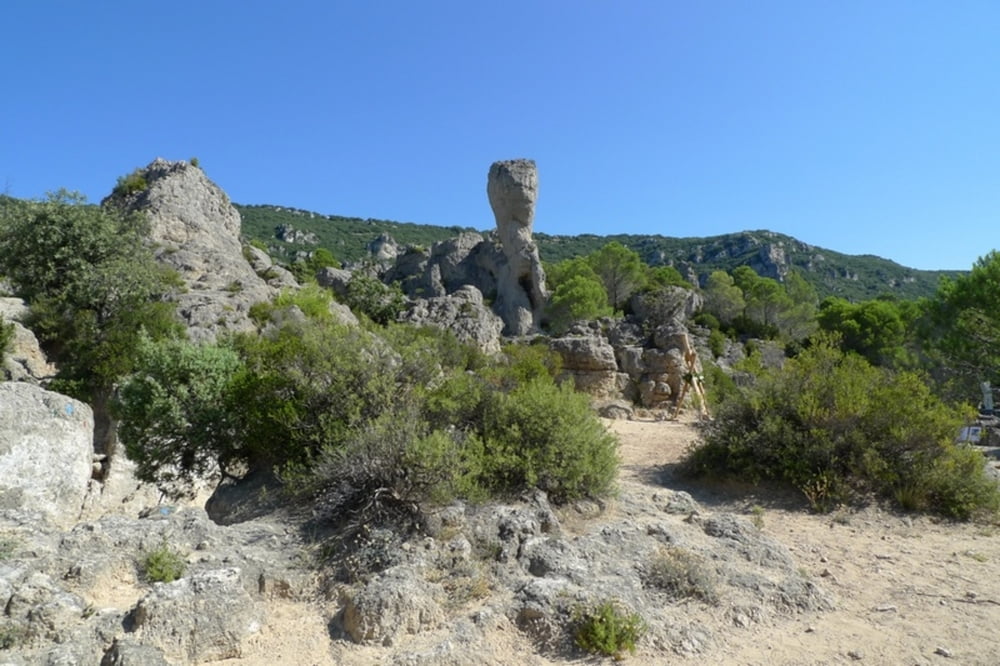
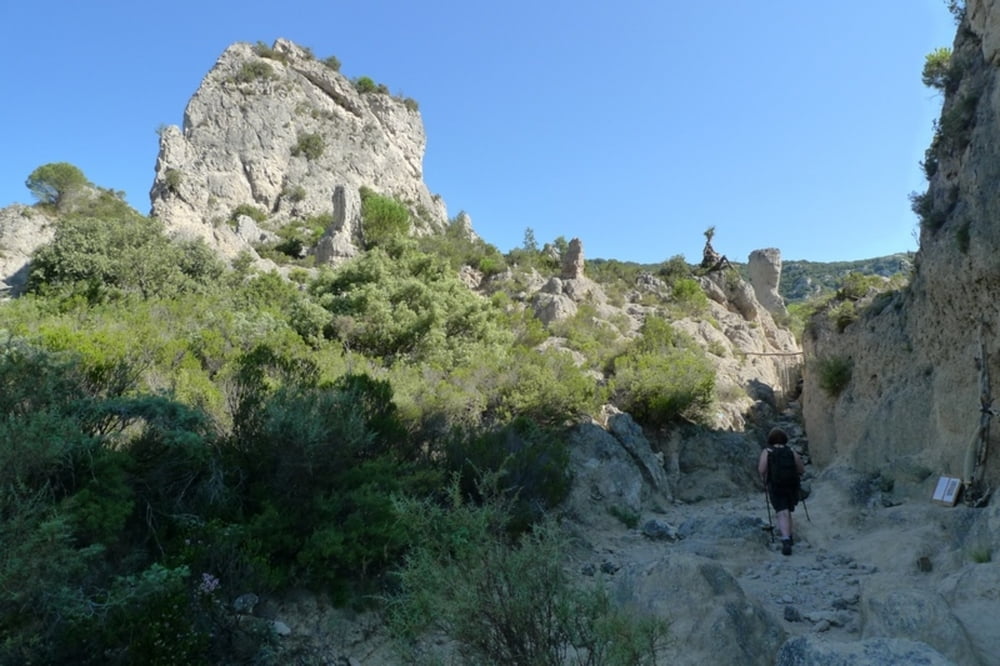
http://fr.wikipedia.org/wiki/Cirque_de_Mour%C3%A8ze

Galerija izletov

Zemljevid in višinski profil izleta

  • Open Street Map
  • Google
Minimum height 203 m Maximum height 506 m Prikaz podrobnosti

More about the tour author

Senecio
Member since 2008

Send private message

Komentarji

Poti GPS

Trackpoints
  • GPX / Garmin Map Source (gpx) download
  • TCX / Garmin Training Center® (tcx) download
  • CRS / Garmin Training Center® (crs) download
  • Google Earth (kml) download
  • G7ToWin (g7t) download
  • TTQV (trk) download
  • Overlay (ovl) download
  • Fugawi (txt) download
  • Kompass (DAV) Track (tk) download
  • List z izleti (pdf) download
  • Original file of the author (gpx) download

More about the tour author

Senecio
Member since 2008

Send private message
Share track
Add to my favorites
Remove from my favorites
Edit tags
My score
Rate
Izlet: Cirque de Moureze - Montagne de Liausson
Vrsta: Pešačenje
Dolžina: 8,0 km
Evaluated on:
Trajanje:
Day(s)
Hour(s)
Minute(s)
Ocena: Pokrajina Dejavnik zabave Kondicija Tehnika