


Feierabendrunde bei Bad König.
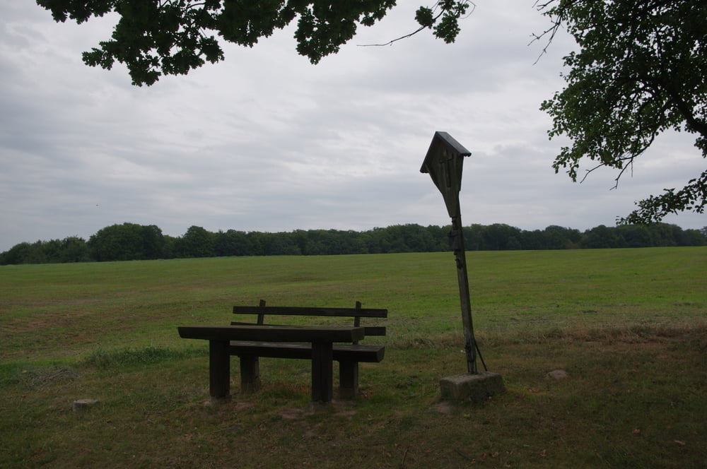
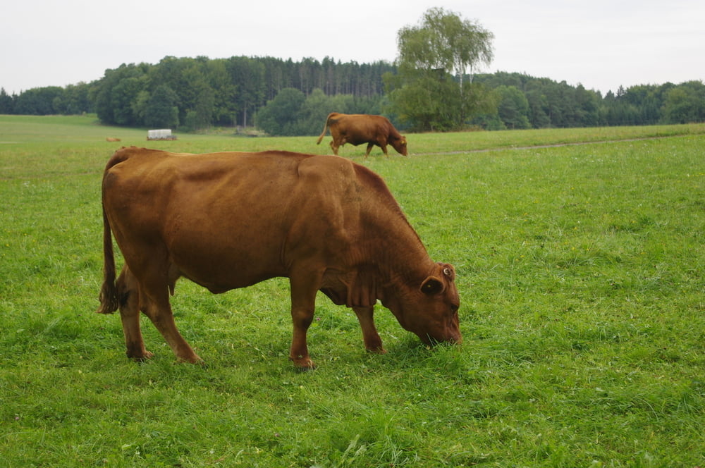
Nach Süden aus dem Ort heraus und den Berg hinan. Ein aufgeräumter Wald wird auf dem Weg zur Hochfläche durchquert. Oben befinden sich Vieweiden mit Gelbvieh und ein ausgedehntes, beschildertes Wegenetz.
Zurück im Wald nahm ich eine Abzweigung nach links und folgte dem Weg bergab.
Unten im Tal passierte ich einen Friedhof mit interessanter Mauer.
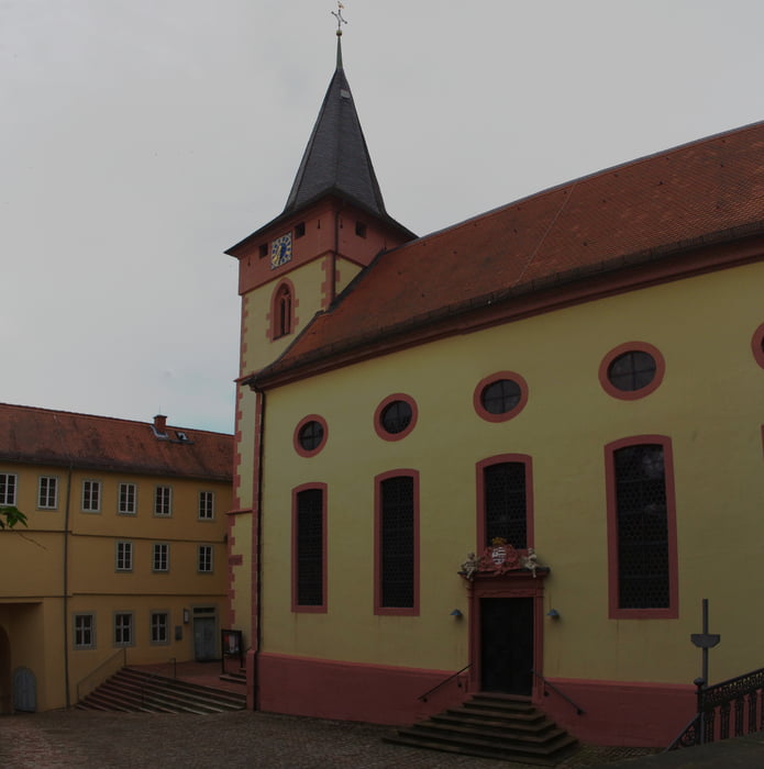
Zum Schluss folgte noch ein kleiner Abstecher zum Schloss Bad König.
Nette kleine Runde ohne allzu imposante Höhepunkte.
Further information at
https://de.wikipedia.org/wiki/Bad_K%C3%B6nigGalerija izletov
Zemljevid in višinski profil izleta
Minimum height 179 m
Maximum height 368 m
More about the tour author
|
|
Pheinz |
Komentarji

Direkt vom Hotel Restaurant Schönberger Hof geht es los.
Poti GPS
Trackpoints-
GPX / Garmin Map Source (gpx) download
-
TCX / Garmin Training Center® (tcx) download
-
CRS / Garmin Training Center® (crs) download
-
Google Earth (kml) download
-
G7ToWin (g7t) download
-
TTQV (trk) download
-
Overlay (ovl) download
-
Fugawi (txt) download
-
Kompass (DAV) Track (tk) download
-
List z izleti (pdf) download
-
Original file of the author (gpx) download
More about the tour author
|
|
Pheinz |
Add to my favorites
Remove from my favorites
Edit tags
Open track
My score
Rate