


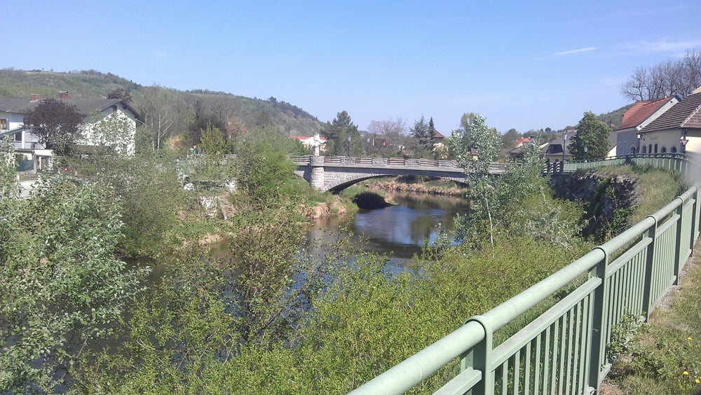
Stecke führt von Eisengraben über Kronsegg (Schotterstrasse, aber schöne Abfahrt) nach Langenlois. Dann über Zöbing durch Weingärten nach Straß im Straßertale. Nach einer kurzen Streck auf der Bundesstrasse führt der Weg entlang dem Wagram nach Stockerau. Großteils auf dem Radweg 841 (tlw. über Feldwege). Dann führt die Strecke von Stockerau durch Donauauen (großteils Forstwege) nach Korneuburg. Über die Donauinsel fahren wir dann zur U6-Station, wo dann der Weg neben der alten Donau nach Wien 22 führt. Die Schotterstrassen bzw. Feldwege sind nicht wirklich für Rennräder geeignet.
Galerija izletov
Zemljevid in višinski profil izleta
Minimum height 151 m
Maximum height 622 m
More about the tour author

|
pentit |
Komentarji

Poti GPS
Trackpoints-
GPX / Garmin Map Source (gpx) download
-
TCX / Garmin Training Center® (tcx) download
-
CRS / Garmin Training Center® (crs) download
-
Google Earth (kml) download
-
G7ToWin (g7t) download
-
TTQV (trk) download
-
Overlay (ovl) download
-
Fugawi (txt) download
-
Kompass (DAV) Track (tk) download
-
List z izleti (pdf) download
-
Original file of the author (gpx) download
More about the tour author
|
|
pentit |
Add to my favorites
Remove from my favorites
Edit tags
Open track
My score
Rate